Central Highlands (Tas.) Suburbs & Region, Central Highlands (Tas.) Map & Postcodes
Central Highlands (Tas.) Suburbs & Region, Central Highlands (Tas.) Map & Postcodes in Central Highlands (Tas.), South East, TAS, AU
Central Highlands (Tas.) Region
Region Name
Central Highlands (Tas.) (TAS, AU)Central Highlands (Tas.) Area
18427 square kilometers (18,427 ㎢)Postal Codes
7012, 7017, 7026, 7027, 7030, 7119, 7139, and 7172 (In total, there are 8 postcodes in Central Highlands (Tas.).)Central Highlands (Tas.) Introduction
Central Highlands (Tas.), South East, Tasmania, AU, is a locality in the local government area of the South East Region, Tasmania, Australia. It is located about 16 km south of Hobart. The area is mostly rural with a few small settlements. The Central Highlands National Park is located in the area and is a popular destination for hiking and camping. The region is known for its scenic beauty, including waterfalls, forests, and mountain ranges. The area has a temperate climate with cool summers and mild winters. The population of the area is approximately 1,500 people.Australia State
City or Big Region
District or Regional Area
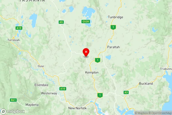
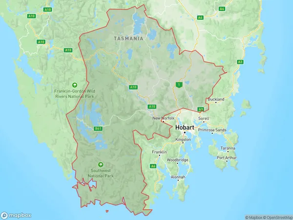
Central Highlands (Tas.) Region Map

Central Highlands (Tas.) Postcodes / Zip Codes
Central Highlands (Tas.) Suburbs
Bridgewater Gagebrook
Brighton Pontville
Austins Ferry Granton
Berriedale Chigwell
Central Highlands (Tas.) full address
Central Highlands (Tas.), South East, Tasmania, TAS, Australia, SaCode: 60301Country
Central Highlands (Tas.), South East, Tasmania, TAS, Australia, SaCode: 60301
Central Highlands (Tas.) Suburbs & Region, Central Highlands (Tas.) Map & Postcodes has 8 areas or regions above, and there are 52 Central Highlands (Tas.) suburbs below. The sa3code for the Central Highlands (Tas.) region is 60301. Its latitude and longitude coordinates are -42.4241,147.144.
Central Highlands (Tas.) Suburbs & Localities
1. Glenlusk
2. Honeywood
3. Colebrook
4. Arthurs Lake
5. Bothwell
6. Jericho
7. Shannon
8. Grasstree Hill
9. Tea Tree
10. Campania
11. Apsley
12. Bagdad
13. Bagdad North
14. Cramps Bay
15. Strathgordon
16. Pawleena
17. Wattle Hill
18. Flintstone
19. Interlaken
20. Liawenee
21. Melton Mowbray
22. Tods Corner
23. Wilburville
24. Orielton
25. Old Beach
26. Otago
27. Risdon
28. Bridgewater
29. Broadmarsh
30. Elderslie
31. Granton
32. Lake Sorell
33. Mangalore
34. Miena
35. Millers Bluff
36. Morass Bay
37. Steppes
38. Waddamana
39. Collinsvale
40. Brighton
41. Dromedary
42. Dysart
43. Gagebrook
44. Herdsmans Cove
45. Hermitage
46. Stonor
47. Sorell
48. Kempton
49. Lower Marshes
50. Pelham
51. Pontville
52. Nugent
