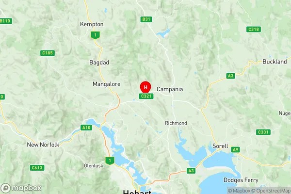
Brighton Pontville Suburbs & Region, Brighton Pontville Map & Postcodes
Brighton Pontville Suburbs & Region, Brighton Pontville Map & Postcodes in Brighton Pontville, Central Highlands (Tas.), South East, TAS, AU
Brighton Pontville Region
Region Name
Brighton Pontville (TAS, AU)Brighton Pontville Area
88.76 square kilometers (88.76 ㎢)Postal Codes
7017, and 7030 (In total, there are 2 postcodes in Brighton Pontville.)Brighton Pontville Introduction
Brighton Pontville is a suburb of the local government area of the City of Clarence, located in the South East region of Tasmania, Australia. It is located approximately 5 km south of the Clarence city center. The suburb was named after Brighton, a town in England, and Pontville, a town in France. The suburb has a population of around 4,000 people and is home to a variety of residential properties, including single-family homes, apartments, and townhouses. The area is known for its peaceful and quiet atmosphere, with many parks and recreational facilities nearby. Brighton Pontville also has a shopping center, a medical center, and a variety of restaurants and cafes. The suburb is well-connected to the rest of Tasmania, with a bus service that runs regularly to the city center and other nearby towns. The Clarence Airport is also located within the suburb, providing convenient access to domestic and international flights.Australia State
City or Big Region
Greater Capital City
Greater Hobart (6GHOB)District or Regional Area
Suburb Name
Brighton Pontville Region Map

Brighton Pontville Postcodes / Zip Codes
Brighton Pontville Suburbs
Brighton Pontville full address
Brighton Pontville, Central Highlands (Tas.), South East, Tasmania, TAS, Australia, SaCode: 601011002Country
Brighton Pontville, Central Highlands (Tas.), South East, Tasmania, TAS, Australia, SaCode: 601011002
Brighton Pontville Suburbs & Region, Brighton Pontville Map & Postcodes has 0 areas or regions above, and there are 4 Brighton Pontville suburbs below. The sa2code for the Brighton Pontville region is 601011002. Its latitude and longitude coordinates are -42.681,147.352. Brighton Pontville area belongs to Australia's greater capital city Greater Hobart.
Brighton Pontville Suburbs & Localities
1. Honeywood
2. Tea Tree
3. Brighton
4. Pontville
