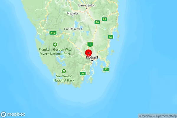
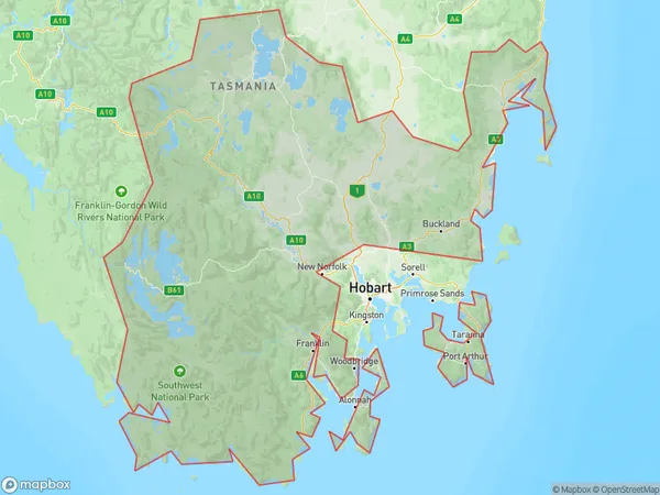
South East Suburbs & Region, South East Map & Postcodes
South East Suburbs & Region, South East Map & Postcodes in South East, TAS, AU
South East Region
Region Name
South East (TAS, AU)South East Area
23822 square kilometers (23,822 ㎢)Postal Codes
7001, 7012, 7017, 7026, 7027, 7030, 7054, 7109, 7112, 7113, 7116, 7117, 7119, 7120, 7139, 7150, 7155, 7162, 7163, 7172, from 7177 to 7180, from 7182 to 7187, 7190, 7209, 7210, 7213, and 7215 (In total, there are 35 postcodes in South East.)South East Introduction
South East, South East, Tasmania, AU, is a locality in the local government area of the South East Region, Tasmania, Australia. It is located about 12 km south of Hobart. The post office opened as South East on 1 October 1842 and was closed on 1 July 1974. The town was named after the South East River. The area is primarily agricultural, with some forestry and tourism. The South East River flows through the area, and there are several scenic reserves and parks in the vicinity. The town has a primary school, a post office, a general store, and a community hall. The nearest major town is Bicheno, which is about 15 km away.Australia State
City or Big Region
South East Region Map

South East Postcodes / Zip Codes
South East Suburbs
Central Highlands (Tas.)
Huon Bruny Island
South East Coast
South East full address
South East, Tasmania, TAS, Australia, SaCode: 603Country
South East, Tasmania, TAS, Australia, SaCode: 603
South East Suburbs & Region, South East Map & Postcodes has 3 areas or regions above, and there are 216 South East suburbs below. The sa4code for the South East region is 603. Its latitude and longitude coordinates are -42.8403,147.197.
South East Suburbs & Localities
1. Bridgewater
2. Honeywood
3. Glenlusk
4. Neika
5. Kaoota
6. Hobart
7. Boomer Bay
8. Pawleena
9. Ross
10. Campbell Town
11. Avoca
12. Chain Of Lagoons
13. Colebrook
14. Campania
15. Antill Ponds
16. Stonor
17. Runnymede
18. Strathgordon
19. Woodbridge
20. Flowerpot
21. Kettering
22. Lymington
23. Cygnet
24. Surges Bay
25. Dover
26. Franklin
27. Cape Pillar
28. Stormlea
29. Saltwater River
30. Highcroft
31. Koonya
32. Eaglehawk Neck
33. Taranna
34. Premaydena
35. Murdunna
