Cape Pillar Area, Cape Pillar Postcode(7182) & Map in Cape Pillar, South East, TAS
Cape Pillar Area, Cape Pillar Postcode(7182) & Map in Cape Pillar, South East, TAS, AU, Postcode: 7182
Cape Pillar, Forestier - Tasman, South East Coast, South East, Tasmania, Australia, 7182
Cape Pillar Postcode
Area Name
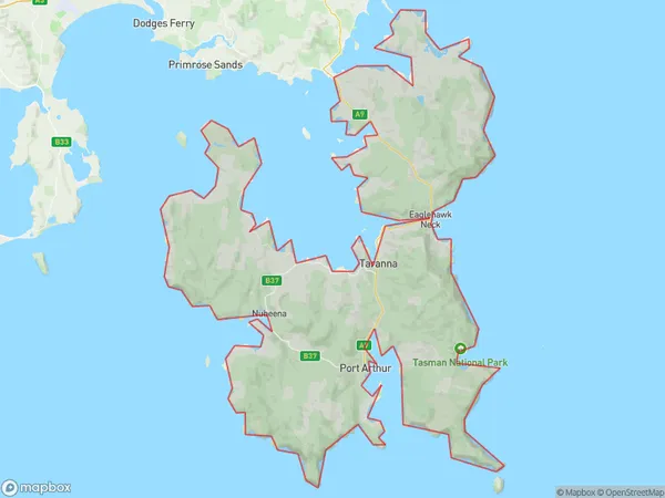
Cape PillarCape Pillar Suburb Area Map (Polygon)
Cape Pillar Introduction
Cape Pillar is a prominent headland located on the south-east coast of Tasmania, Australia. It is known for its dramatic cliffs, rugged coastline, and stunning views of the Southern Ocean. The Cape Pillar Trail is a popular hiking route that leads to the summit of the cape, offering breathtaking views of the surrounding landscape.State Name
City or Big Region
District or Regional Area
Suburb Name
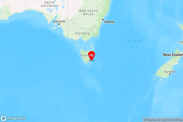
Cape Pillar Region Map
Country
Main Region in AU
R3Coordinates
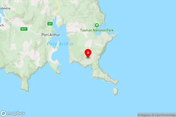
-43.1818,147.939 (latitude/longitude)Cape Pillar Area Map (Street)
Longitude
147.9387592Latitude
-43.18182603Cape Pillar Elevation
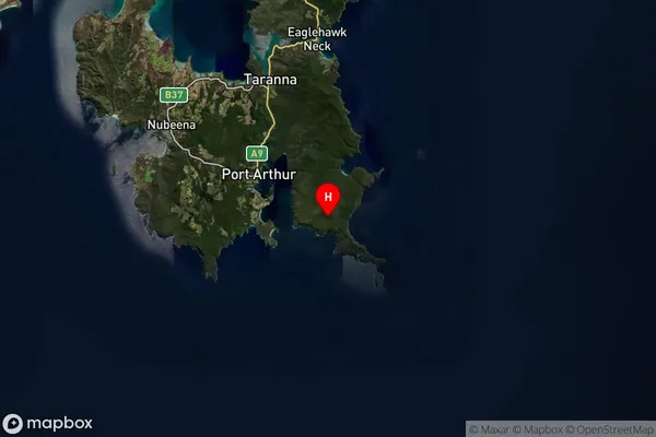
about 296.00 meters height above sea level (Altitude)Cape Pillar Suburb Map (Satellite)
Distances
The distance from Cape Pillar, South East, TAS to AU Greater Capital CitiesSA1 Code 2011
60303107303SA1 Code 2016
60303107303SA2 Code
603031073SA3 Code
60303SA4 Code
603RA 2011
3RA 2016
3MMM 2015
5MMM 2019
5Charge Zone
T1LGA Region
TasmanLGA Code
65210Electorate
Lyons