Forestier Tasman Suburbs & Region, Forestier Tasman Map & Postcodes
Forestier Tasman Suburbs & Region, Forestier Tasman Map & Postcodes in Forestier Tasman, South East Coast, South East, TAS, AU
Forestier Tasman Region
Region Name
Forestier Tasman (TAS, AU)Forestier Tasman Area
660.39 square kilometers (660.39 ㎢)Postal Codes
7001, from 7178 to 7180, and from 7182 to 7187 (In total, there are 10 postcodes in Forestier Tasman.)Forestier Tasman Introduction
Tasmania's south-east is home to the Forestier Peninsula. It is located between the Huon and Derwent rivers. The Arthur Highway runs through it. The Forestier Peninsula is a popular tourist destination for its scenic beauty, including the Forestier National Park, which is home to a variety of plant and animal species. The peninsula is also home to several historic sites, including the Forestier Homestead, which was built in the 1830s. The Forestier Peninsula is a beautiful and diverse region that offers something for everyone to enjoy.Australia State
City or Big Region
Greater Capital City
Rest of Tas. (6RTAS)District or Regional Area
Suburb Name
Forestier Tasman Region Map

Forestier Tasman Postcodes / Zip Codes
Forestier Tasman Suburbs
Forestier Tasman full address
Forestier Tasman, South East Coast, South East, Tasmania, TAS, Australia, SaCode: 603031073Country
Forestier Tasman, South East Coast, South East, Tasmania, TAS, Australia, SaCode: 603031073
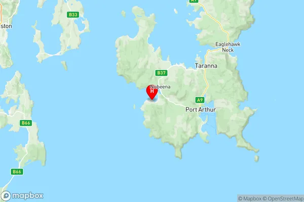
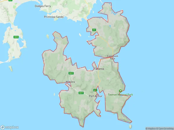
Forestier Tasman Suburbs & Region, Forestier Tasman Map & Postcodes has 0 areas or regions above, and there are 16 Forestier Tasman suburbs below. The sa2code for the Forestier Tasman region is 603031073. Its latitude and longitude coordinates are -43.1242,147.72. Forestier Tasman area belongs to Australia's greater capital city Rest of Tas..
Forestier Tasman Suburbs & Localities
1. Cape Pillar
2. Stormlea
3. White Beach
4. Saltwater River
5. Highcroft
6. Nubeena
7. Koonya
8. Tasman Island
9. Eaglehawk Neck
10. Taranna
11. Fortescue
12. Port Arthur
13. Premaydena
14. Sloping Main
15. Murdunna
16. Cape Raoul
