Runnymede Area, Runnymede Postcode(7190) & Map in Runnymede, South East, TAS
Runnymede Area, Runnymede Postcode(7190) & Map in Runnymede, South East, TAS, AU, Postcode: 7190
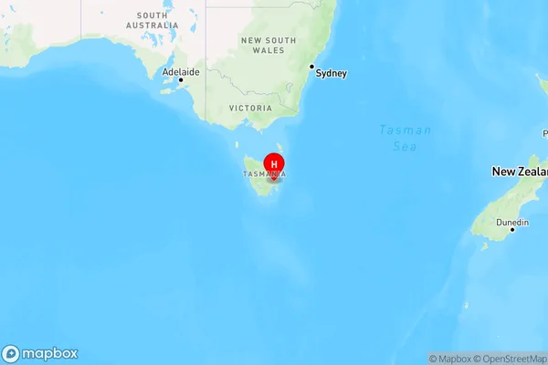
Runnymede, Southern Midlands, Central Highlands (Tas.), South East, Tasmania, Australia, 7190
Runnymede Postcode
Area Name
RunnymedeRunnymede Suburb Area Map (Polygon)

Runnymede Introduction
Runnymede is a suburb of Hobart, Tasmania, Australia, located in the South East. It is known for its scenic beauty, including the Derwent River and Mount Wellington. The area is home to many parks and reserves, including the Runnymede Botanic Garden and the Mount Wellington Reserve.State Name
City or Big Region
District or Regional Area
Suburb Name
Runnymede Region Map
Country
Main Region in AU
R3Coordinates
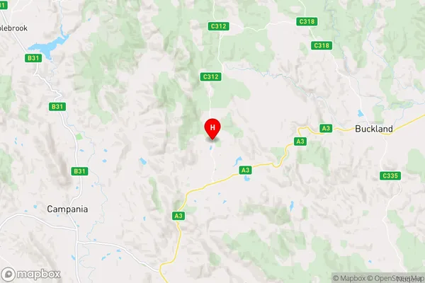
-42.6163823,147.5612632 (latitude/longitude)Runnymede Area Map (Street)
Longitude
148.091696Latitude
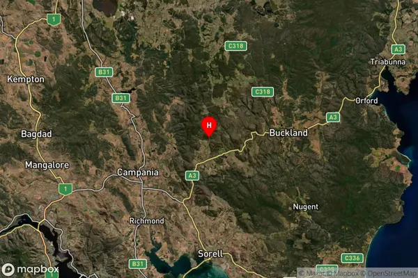
-42.62988Runnymede Suburb Map (Satellite)
Distances
The distance from Runnymede, South East, TAS to AU Greater Capital CitiesSA1 Code 2011
60301106705SA1 Code 2016
60301106705SA2 Code
603011067SA3 Code
60301SA4 Code
603RA 2011
3RA 2016
3MMM 2015
5MMM 2019
5Charge Zone
T1LGA Region
SorellLGA Code
64810Electorate
Lyons