Southern Midlands Suburbs & Region, Southern Midlands Map & Postcodes
Southern Midlands Suburbs & Region, Southern Midlands Map & Postcodes in Southern Midlands, South East Coast, South East, TAS, AU
Southern Midlands Region
Region Name
Southern Midlands (TAS, AU)Southern Midlands Area
2600 square kilometers (2,600 ㎢)Southern Midlands Suburb Area Map (Polygon)

Southern Midlands Introduction
The Southern Midlands, South East, Tasmania, AU, is a region located in the state of Tasmania, Australia. It is known for its scenic landscapes, including the Mount Wellington Range, the Tamar Valley, and the Huon Valley. The region is home to a variety of industries, including agriculture, forestry, and tourism. The population of the region is approximately 35,000 people. The major towns in the region include Hobart, Launceston, and Burnie. The region is also home to a number of national parks and reserves, including the Franklin-Gordon Wild Rivers National Park and the Cradle Mountain-Lake St. Clair National Park.Australia State
City or Big Region
Greater Capital City
Rest of Tas. (6RTAS)District or Regional Area
Suburb Name
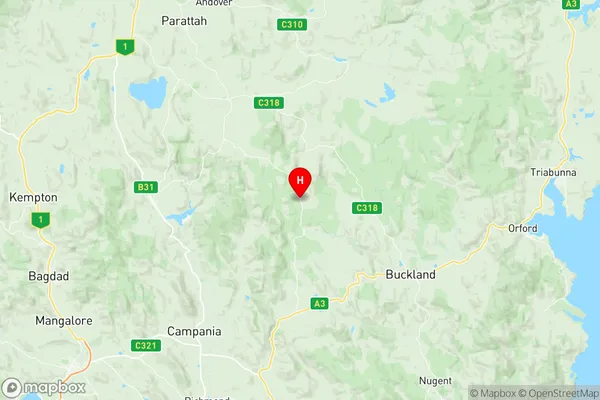
Southern Midlands Region Map
Southern Midlands Suburbs
Southern Midlands full address
Southern Midlands, South East Coast, South East, Tasmania, TAS, Australia, SaCode: 603011067Country
Southern Midlands, South East Coast, South East, Tasmania, TAS, Australia, SaCode: 603011067
Southern Midlands Suburbs & Region, Southern Midlands Map & Postcodes has 0 areas or regions above, and there are 0 Southern Midlands suburbs below. The sa2code for the Southern Midlands region is 603011067. Its latitude and longitude coordinates are -42.532,147.566. Southern Midlands area belongs to Australia's greater capital city Rest of Tas..