Lemont Area, Lemont Postcode(7120) & Map in Lemont, South East, TAS
Lemont Area, Lemont Postcode(7120) & Map in Lemont, South East, TAS, AU, Postcode: 7120
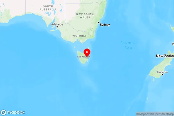
Lemont, Southern Midlands, Central Highlands (Tas.), South East, Tasmania, Australia, 7120
Lemont Postcode
Area Name
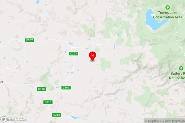
LemontLemont Suburb Area Map (Polygon)

Lemont Introduction
Lemont is a town in South East, Tasmania, Australia. It is located on the banks of the Tamar River and is known for its scenic beauty, including the Tamar Valley Wine Region. The town has a population of around 1,000 people and is a popular tourist destination.State Name
City or Big Region
District or Regional Area
Suburb Name
Lemont Region Map
Country
Main Region in AU
R3Coordinates
-42.2972886,147.6599439 (latitude/longitude)Lemont Area Map (Street)
Longitude
147.48727Latitude
-42.31694Lemont Elevation
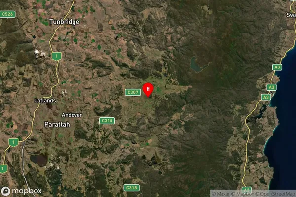
about 392.70 meters height above sea level (Altitude)Lemont Suburb Map (Satellite)
Distances
The distance from Lemont, South East, TAS to AU Greater Capital CitiesSA1 Code 2011
60301106708SA1 Code 2016
60301106708SA2 Code
603011067SA3 Code
60301SA4 Code
603RA 2011
3RA 2016
3MMM 2015
5MMM 2019
5Charge Zone
T1LGA Region
Southern MidlandsLGA Code
65010Electorate
Lyons