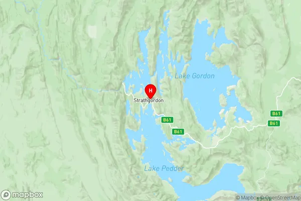
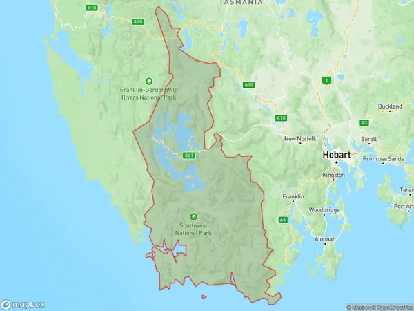
Wilderness East Suburbs & Region, Wilderness East Map & Postcodes
Wilderness East Suburbs & Region, Wilderness East Map & Postcodes in Wilderness East, Central Highlands (Tas.), South East, TAS, AU
Wilderness East Region
Region Name
Wilderness East (TAS, AU)Wilderness East Area
7351 square kilometers (7,351 ㎢)Postal Codes
7139 (In total, there are 1 postcodes in Wilderness East.)Wilderness East Introduction
Wilderness East is a national park in Tasmania, Australia. It is located in the eastern part of the state, between the towns of St Marys and Bicheno. The park is known for its stunning natural beauty, including mountains, forests, rivers, and lakes. It is a popular destination for hiking, camping, and wildlife watching. The park is home to a variety of animals, including the Tasmanian devil, wallabies, and echidnas. It also has a number of walking trails, including the famous Overland Track. Wilderness East is a protected area that is important for the conservation of Tasmania's natural heritage.Australia State
City or Big Region
Greater Capital City
Rest of Tas. (6RTAS)District or Regional Area
Suburb Name
Wilderness East Region Map

Wilderness East Postcodes / Zip Codes
Wilderness East Suburbs
Wilderness East full address
Wilderness East, Central Highlands (Tas.), South East, Tasmania, TAS, Australia, SaCode: 603011068Country
Wilderness East, Central Highlands (Tas.), South East, Tasmania, TAS, Australia, SaCode: 603011068
Wilderness East Suburbs & Region, Wilderness East Map & Postcodes has 0 areas or regions above, and there are 1 Wilderness East suburbs below. The sa2code for the Wilderness East region is 603011068. Its latitude and longitude coordinates are -42.7671,146.051. Wilderness East area belongs to Australia's greater capital city Rest of Tas..
Wilderness East Suburbs & Localities
1. Strathgordon
