Risdon Vale Suburbs & Region, Risdon Vale Map & Postcodes
Risdon Vale Suburbs & Region, Risdon Vale Map & Postcodes in Risdon Vale, Central Highlands (Tas.), South East, TAS, AU
Risdon Vale Region
Region Name
Risdon Vale (TAS, AU)Risdon Vale Area
35.49 square kilometers (35.49 ㎢)Postal Codes
7016, and 7017 (In total, there are 2 postcodes in Risdon Vale.)Risdon Vale Introduction
Risdon Vale is a small township located in the South East region of Tasmania, Australia. It is situated approximately 20 kilometers south of Hobart and 5 kilometers east of Sorell. The town is surrounded by beautiful countryside and is known for its peaceful and quiet atmosphere. Risdon Vale has a population of around 1,000 people and is home to a variety of shops, cafes, and recreational facilities. The town also has a primary school, a post office, and a community hall. The nearby Risdon Vale Reservoir is a popular spot for fishing, boating, and picnicking, and the surrounding hills offer excellent opportunities for hiking and mountain biking.Australia State
City or Big Region
Greater Capital City
Greater Hobart (6GHOB)District or Regional Area
Suburb Name
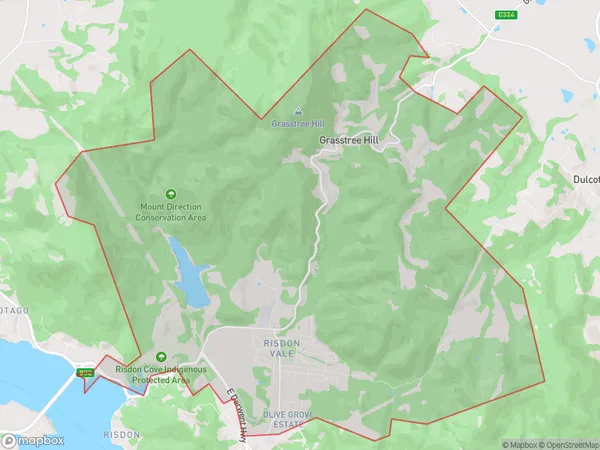
Risdon Vale Region Map

Risdon Vale Postcodes / Zip Codes
Risdon Vale Suburbs
Risdon Vale full address
Risdon Vale, Central Highlands (Tas.), South East, Tasmania, TAS, Australia, SaCode: 601021010Country
Risdon Vale, Central Highlands (Tas.), South East, Tasmania, TAS, Australia, SaCode: 601021010
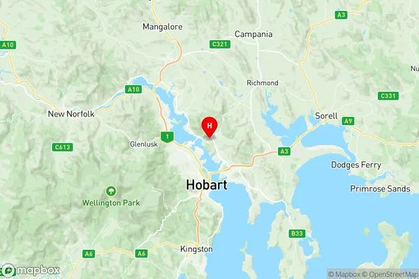
Risdon Vale Suburbs & Region, Risdon Vale Map & Postcodes has 0 areas or regions above, and there are 3 Risdon Vale suburbs below. The sa2code for the Risdon Vale region is 601021010. Its latitude and longitude coordinates are -42.8171,147.334. Risdon Vale area belongs to Australia's greater capital city Greater Hobart.
Risdon Vale Suburbs & Localities
1. Grasstree Hill
2. Risdon Vale
3. Risdon
