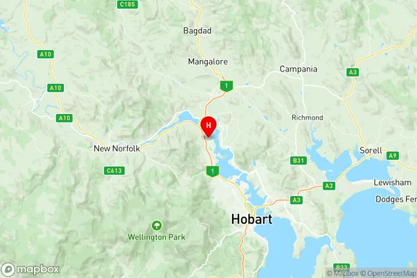
Austins Ferry Granton Suburbs & Region, Austins Ferry Granton Map & Postcodes
Austins Ferry Granton Suburbs & Region, Austins Ferry Granton Map & Postcodes in Austins Ferry Granton, Central Highlands (Tas.), South East, TAS, AU
Austins Ferry Granton Region
Region Name
Austins Ferry Granton (TAS, AU)Austins Ferry Granton Area
27.37 square kilometers (27.37 ㎢)Austins Ferry Granton Introduction
Austin's Ferry Granton is a small rural community located in the South East region of Tasmania, Australia. It is situated on the banks of the Granton River, approximately 10 kilometers south of the town of Granton. The community is named after the Austin family, who were early settlers in the area. The primary industry in Austin's Ferry Granton is agriculture, with many farms and orchards in the surrounding area. The community also has a small number of businesses, including a general store, a post office, and a pub. The Granton River is a popular spot for fishing and boating, and the surrounding forests and mountains offer plenty of opportunities for hiking and camping. The community is surrounded by beautiful natural scenery and is a popular destination for tourists. Austin's Ferry Granton has a population of around 100 people and is a friendly and welcoming community. The community is known for its annual Granton Show, which is a popular event that attracts visitors from all over Tasmania.Australia State
City or Big Region
Greater Capital City
Greater Hobart (6GHOB)District or Regional Area
Suburb Name
Austins Ferry Granton Region Map

Austins Ferry Granton Suburbs
Austins Ferry Granton full address
Austins Ferry Granton, Central Highlands (Tas.), South East, Tasmania, TAS, Australia, SaCode: 601031013Country
Austins Ferry Granton, Central Highlands (Tas.), South East, Tasmania, TAS, Australia, SaCode: 601031013
Austins Ferry Granton Suburbs & Region, Austins Ferry Granton Map & Postcodes has 0 areas or regions above, and there are 0 Austins Ferry Granton suburbs below. The sa2code for the Austins Ferry Granton region is 601031013. Its latitude and longitude coordinates are -42.7664,147.243. Austins Ferry Granton area belongs to Australia's greater capital city Greater Hobart.
