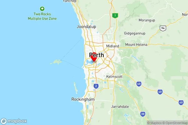
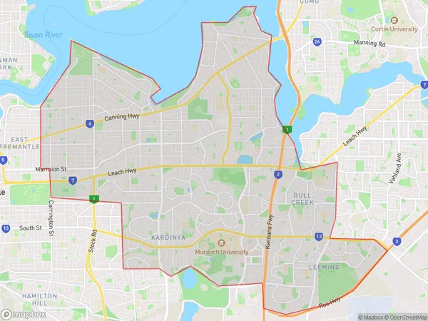
Melville Suburbs & Region, Melville Map & Postcodes
Melville Suburbs & Region, Melville Map & Postcodes in Melville, Perth South West, WA, AU
Melville Region
Region Name
Melville (WA, AU)Melville Area
53.45 square kilometers (53.45 ㎢)Postal Codes
6149, 6150, from 6153 to 6157, 6163, from 6953 to 6957, 6961, 6963, 6965, and 6970 (In total, there are 17 postcodes in Melville.)Melville Introduction
Melville is a suburb of Perth, the capital city of Western Australia, and is located in the City of Cockburn. It is named after Herman Melville, an American novelist and poet. The suburb is located approximately 10 kilometers south-west of Perth's central business district and is part of the City of Cockburn's urban growth area. Melville is a well-established suburb with a variety of housing options, including single-family homes, apartments, and townhouses. The suburb has a number of parks and recreational facilities, including the Melville Water Park, which features a swimming pool, water slides, and a playground. There are also several shopping centers and restaurants in the area, including the Westfield Carousel shopping center and the Cockburn Gateway shopping center. Melville is well-connected to the rest of Perth via public transportation, with several bus routes and the West Coast Railway line passing through the suburb. The suburb is also home to several major hospitals, including the Sir Charles Gairdner Hospital and the Fiona Stanley Hospital. In conclusion, Melville is a popular suburb of Perth with a variety of housing options, recreational facilities, and transportation options. It is well-connected to the rest of Perth and is home to several major hospitals and shopping centers.Australia State
City or Big Region
District or Regional Area
Melville Region Map

Melville Postcodes / Zip Codes
Melville Suburbs
Canning Vale Commercial
Canning Vale East
Bibra Industrial
Applecross Ardross
Murdoch Kardinya
Melville full address
Melville, Perth South West, Western Australia, WA, Australia, SaCode: 50704Country
Melville, Perth South West, Western Australia, WA, Australia, SaCode: 50704
Melville Suburbs & Region, Melville Map & Postcodes has 21 areas or regions above, and there are 46 Melville suburbs below. The sa3code for the Melville region is 50704. Its latitude and longitude coordinates are -32.0116,115.839.
Melville Suburbs & Localities
1. Winthrop
2. Mount Pleasant
3. Booragoon
4. Myaree
5. Willetton
6. Attadale
7. Melville
8. Bull Creek
9. Palmyra Dc
10. Applecross
11. Oconnor
12. Canning Vale
13. Spearwood
14. Bibra Lake
15. Coolbellup
16. Hamilton Hill
17. Kardinya
18. North Coogee
19. Bateman
20. Murdoch
21. Applecross North
22. Brentwood
23. Canning Vale South
24. Willagee
25. Willagee Central
26. Palmyra
27. Bibra Lake Dc
28. Hilton
29. North Lake
30. Oconnor
31. Leeming
32. Ardross
33. Canning Bridge Applecross
34. Alfred Cove
35. Canning Vale Dc
36. Bicton
37. Samson
38. Melville
39. Palmyra Dc
40. Hamilton Hill
41. Canning Vale Dc
42. Booragoon
43. Willetton
44. Bibra Lake Dc
45. Applecross
46. Palmyra
