Attadale Area, Attadale Postcode(6156) & Map in Attadale, Perth - South West, WA
Attadale Area, Attadale Postcode(6156) & Map in Attadale, Perth - South West, WA, AU, Postcode: 6156
Attadale, Melville, Melville, Perth - South West, Western Australia, Australia, 6156
Attadale Postcode
Area Name
AttadaleAttadale Suburb Area Map (Polygon)

Attadale Introduction
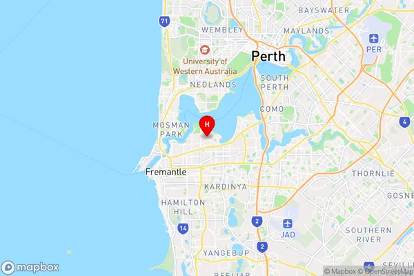
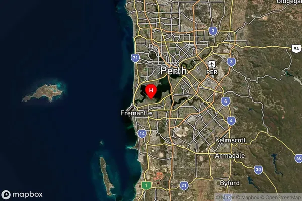
Attadale is a suburb of Perth, Western Australia, located 11 kilometers south-southwest of the central business district. It is known for its beaches, parks, and recreational facilities. Attadale has a population of approximately 10,000 people and is home to several schools, including Attadale Primary School and Attadale Senior High School.State Name
City or Big Region
District or Regional Area
Suburb Name
Attadale Region Map

Country
Main Region in AU
R2Coordinates
-32.0248597,115.7996837 (latitude/longitude)Attadale Area Map (Street)
Longitude
115.800233Latitude
-32.03954Attadale Suburb Map (Satellite)
Distances
The distance from Attadale, Perth - South West, WA to AU Greater Capital CitiesSA1 Code 2011
50704118114SA1 Code 2016
50704118114SA2 Code
507041181SA3 Code
50704SA4 Code
507RA 2011
1RA 2016
1MMM 2015
1MMM 2019
1Charge Zone
W1LGA Region
MelvilleLGA Code
55320Electorate
Tangney