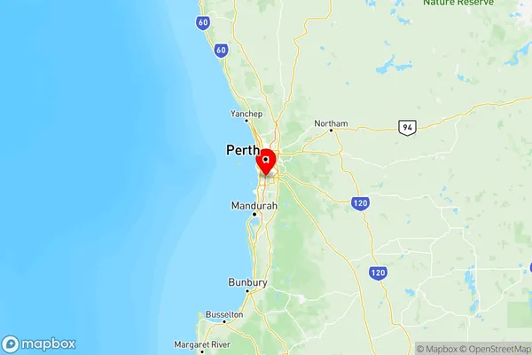
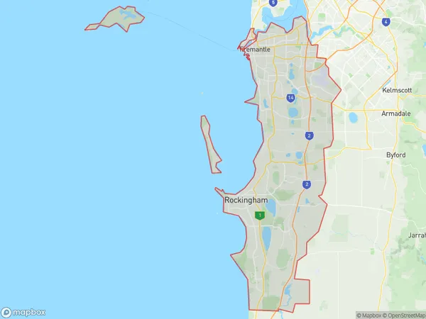
Perth South West Suburbs & Region, Perth South West Map & Postcodes
Perth South West Suburbs & Region, Perth South West Map & Postcodes in Perth South West, WA, AU
Perth South West Region
Region Name
Perth South West (WA, AU)Perth South West Area
621.02 square kilometers (621.02 ㎢)Perth South West Introduction
Perth South West is a suburb of Perth, the capital city of Western Australia, and is located in the City of Cockburn. It is situated approximately 16 kilometers south-west of Perth's central business district (CBD) and is part of the wider Perth metropolitan area. The suburb is named after the South West River, which flows through it and provides a natural boundary to the east. It is a relatively new suburb, with most of the development occurring in the 1990s and 2000s. Perth South West is a well-established residential area with a mix of single-family homes, townhouses, and apartments. It has a variety of amenities, including parks, shopping centers, and medical facilities. The suburb is also home to several major companies, including BHP Billiton and Woodside Petroleum. Transportation in Perth South West is excellent, with several bus routes and the Cockburn Gateway freeway providing easy access to the CBD and other parts of the city. The suburb is also well-connected to the Perth Airport, which is located just a few minutes drive away. In summary, Perth South West is a modern and well-established suburb with a variety of amenities and excellent transportation links. It is a popular choice for families and professionals looking to live in a safe and convenient location.Australia State
City or Big Region
Perth South West Region Map

Perth South West Suburbs
Perth South West full address
Perth South West, Western Australia, WA, Australia, SaCode: 507Country
Perth South West, Western Australia, WA, Australia, SaCode: 507
Perth South West Suburbs & Region, Perth South West Map & Postcodes has 5 areas or regions above, and there are 0 Perth South West suburbs below. The sa4code for the Perth South West region is 507. Its latitude and longitude coordinates are -32.146,115.865.
