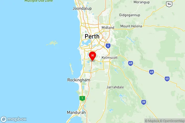
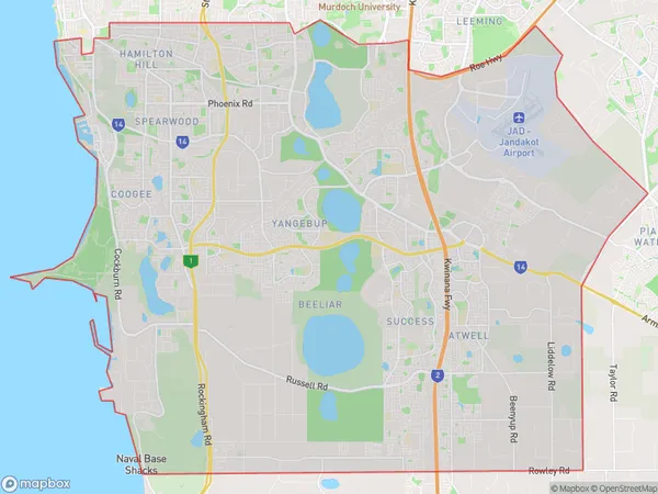
Cockburn Suburbs & Region, Cockburn Map & Postcodes
Cockburn Suburbs & Region, Cockburn Map & Postcodes in Cockburn, Perth South West, WA, AU
Cockburn Region
Region Name
Cockburn (WA, AU)Cockburn Area
148.21 square kilometers (148.21 ㎢)Postal Codes
6164, 6166, and 6964 (In total, there are 3 postcodes in Cockburn.)Cockburn Introduction
Cockburn is a suburb of Perth, the capital city of Western Australia, and is located in the City of Cockburn. It is situated 11 kilometers south of Perth's central business district (CBD) and is part of the Perth metropolitan area. The suburb has a population of around 21,000 people and is known for its modern infrastructure, including shopping centers, parks, and recreational facilities. Cockburn is also home to several major industries, including manufacturing, logistics, and technology. The suburb is well-connected to the rest of Perth via the Perth freeway and public transportation, and is within easy reach of the stunning beaches and natural attractions of the Perth region.Australia State
City or Big Region
District or Regional Area
Cockburn Region Map

Cockburn Postcodes / Zip Codes
Cockburn Suburbs
South Lake Cockburn Central
Success Hammond Park
Beeliar Wattleup
Cockburn full address
Cockburn, Perth South West, Western Australia, WA, Australia, SaCode: 50701Country
Cockburn, Perth South West, Western Australia, WA, Australia, SaCode: 50701
Cockburn Suburbs & Region, Cockburn Map & Postcodes has 9 areas or regions above, and there are 17 Cockburn suburbs below. The sa3code for the Cockburn region is 50701. Its latitude and longitude coordinates are -32.146,115.865.
Cockburn Suburbs & Localities
1. Aubin Grove
2. Beeliar
3. Cockburn Central
4. Hammond Park
5. Yangebup
6. Banjup
7. Lake Coogee
8. Munster
9. Wattleup
10. Success
11. Coogee
12. Henderson
13. Atwell
14. Jandakot
15. South Lake
16. Treeby
17. Success
