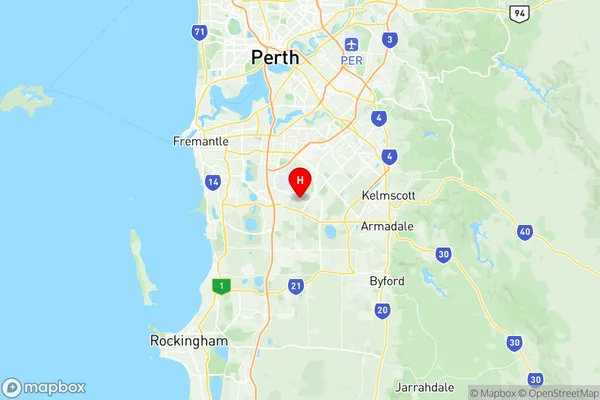
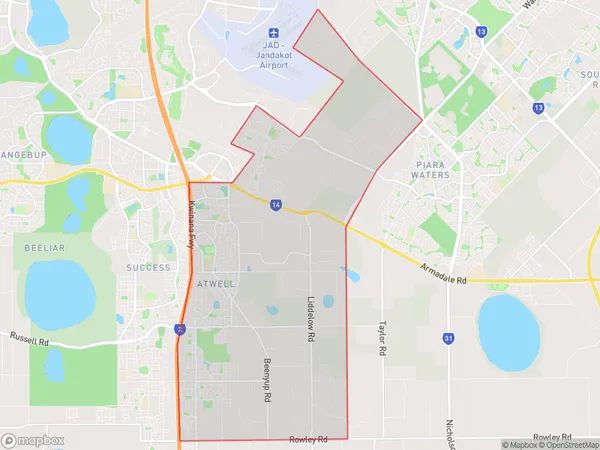
Banjup Suburbs & Region, Banjup Map & Postcodes
Banjup Suburbs & Region, Banjup Map & Postcodes in Banjup, Cockburn, Perth South West, WA, AU
Banjup Region
Region Name
Banjup (WA, AU)Banjup Area
29.71 square kilometers (29.71 ㎢)Postal Codes
6164 (In total, there are 1 postcodes in Banjup.)Banjup Introduction
Banjup is a locality in the City of Cockburn that is located 19 kilometers (11.8 mi) south of Perth, the state capital of Western Australia, and 23 kilometers (14 mi) southeast of Perth's central business district (CBD). The City of Cockburn is a local government area that encompasses the suburbs of Banjup, Success, Wembley Downs, and Jandakot. The suburb is named after the Banjup Forest, which is located within its boundaries. The forest is a significant source of timber and has been logged since the 19th century. The locality is primarily residential, with a mix of single-family homes and apartments. There are several parks and recreational facilities in the area, including the Banjup Community Park and the Wembley Downs Regional Park. The area is served by several schools, including Banjup Primary School and Wembley Downs Secondary College. The nearest major shopping center is the Wembley Village Shopping Centre, which includes a supermarket, specialty stores, and a variety of restaurants. The suburb is also home to several medical facilities, including the Banjup Medical Centre and the Wembley Medical Centre.Australia State
City or Big Region
Greater Capital City
Greater Perth (5GPER)District or Regional Area
Suburb Name
Banjup Region Map

Banjup Postcodes / Zip Codes
Banjup Suburbs
Banjup full address
Banjup, Cockburn, Perth South West, Western Australia, WA, Australia, SaCode: 507011148Country
Banjup, Cockburn, Perth South West, Western Australia, WA, Australia, SaCode: 507011148
Banjup Suburbs & Region, Banjup Map & Postcodes has 0 areas or regions above, and there are 4 Banjup suburbs below. The sa2code for the Banjup region is 507011148. Its latitude and longitude coordinates are -32.1218,115.895. Banjup area belongs to Australia's greater capital city Greater Perth.
Banjup Suburbs & Localities
1. Atwell
2. Aubin Grove
3. Banjup
4. Treeby
