Atwell Area, Atwell Postcode(6164) & Map in Atwell, Perth - South West, WA
Atwell Area, Atwell Postcode(6164) & Map in Atwell, Perth - South West, WA, AU, Postcode: 6164
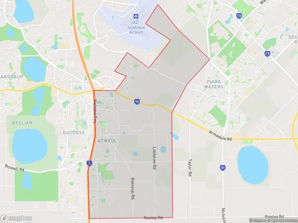
Atwell, Banjup, Cockburn, Perth - South West, Western Australia, Australia, 6164
Atwell Postcode
Area Name
AtwellAtwell Suburb Area Map (Polygon)
Atwell Introduction
Atwell is a suburb of Perth, Western Australia, located 20 kilometers south of the central business district. It is known for its natural beauty, including the Atwell Arboretum and the Atwell Nature Reserve. The suburb has a population of approximately 10,000 people and is home to a variety of amenities, including schools, shopping centers, and recreational facilities.State Name
City or Big Region
District or Regional Area
Suburb Name
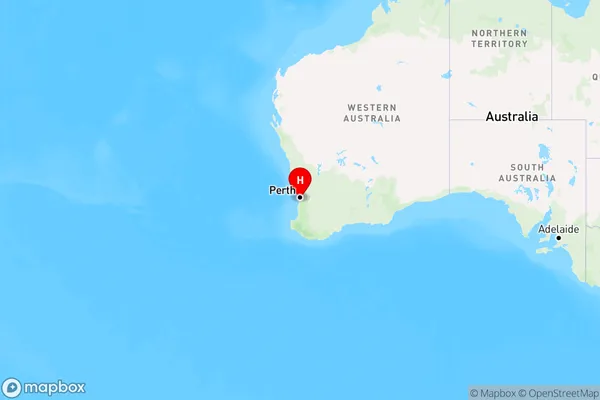
Atwell Region Map
Country
Main Region in AU
R2Coordinates
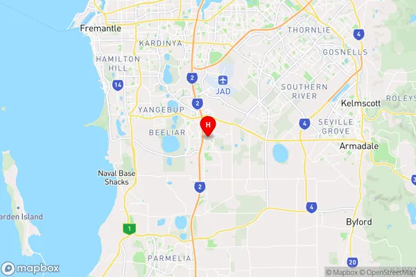
-32.1460122,115.8651336 (latitude/longitude)Atwell Area Map (Street)
Longitude
115.854584Latitude
-32.131993Atwell Elevation
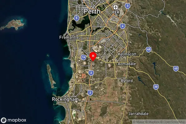
about 28.90 meters height above sea level (Altitude)Atwell Suburb Map (Satellite)
Distances
The distance from Atwell, Perth - South West, WA to AU Greater Capital CitiesSA1 Code 2011
50701114813SA1 Code 2016
50701114813SA2 Code
507011148SA3 Code
50701SA4 Code
507RA 2011
1RA 2016
1MMM 2015
1MMM 2019
1Charge Zone
W1LGA Region
CockburnLGA Code
51820Electorate
Fremantle