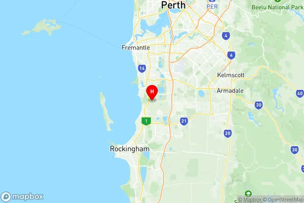
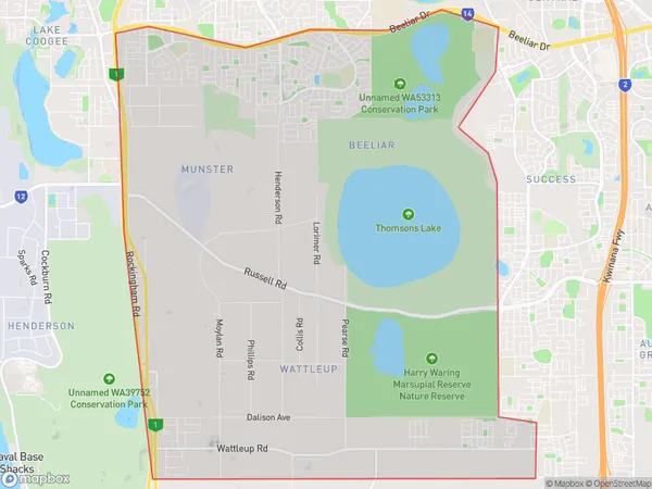
Beeliar Wattleup Suburbs & Region, Beeliar Wattleup Map & Postcodes
Beeliar Wattleup Suburbs & Region, Beeliar Wattleup Map & Postcodes in Beeliar Wattleup, Cockburn, Perth South West, WA, AU
Beeliar Wattleup Region
Region Name
Beeliar Wattleup (WA, AU)Beeliar Wattleup Area
28.72 square kilometers (28.72 ㎢)Postal Codes
6164, and 6166 (In total, there are 2 postcodes in Beeliar Wattleup.)Beeliar Wattleup Introduction
Beeliar Wattleup is a locality in the City of Cockburn, Western Australia, 18 km south of Perth's central business district (CBD) on the southern bank of the Swan River. It is part of the City of Cockburn's southern suburbs. The name "Beeliar" is derived from the Noongar word "Beeliar," which means "place of honey." The locality was named after the Beeliar Wetlands, which were a significant source of honey for the local Noongar people. The Beeliar Wattleup is a culturally diverse area with a mix of residential, commercial, and industrial areas. It is home to a number of cultural institutions, including the Beeliar Wattleup Aboriginal Art Gallery, the Beeliar Wattleup Community Centre, and the Beeliar Wattleup Montessori School. The locality is well-connected to Perth's CBD and other parts of the city, with the Kwinana Freeway and the Mitchell Freeway providing easy access. It is also a popular destination for outdoor activities, with the Beeliar Wetlands Reserve and the Serpentine Riverwalk providing opportunities for walking, cycling, and picnicking. In summary, Beeliar Wattleup is a culturally diverse and well-connected locality in the City of Cockburn, Western Australia, with a rich history and a strong sense of community.Australia State
City or Big Region
Greater Capital City
Greater Perth (5GPER)District or Regional Area
Suburb Name
Beeliar Wattleup Region Map

Beeliar Wattleup Postcodes / Zip Codes
Beeliar Wattleup Suburbs
Beeliar Wattleup full address
Beeliar Wattleup, Cockburn, Perth South West, Western Australia, WA, Australia, SaCode: 507011259Country
Beeliar Wattleup, Cockburn, Perth South West, Western Australia, WA, Australia, SaCode: 507011259
Beeliar Wattleup Suburbs & Region, Beeliar Wattleup Map & Postcodes has 0 areas or regions above, and there are 3 Beeliar Wattleup suburbs below. The sa2code for the Beeliar Wattleup region is 507011259. Its latitude and longitude coordinates are -32.1771,115.803. Beeliar Wattleup area belongs to Australia's greater capital city Greater Perth.
Beeliar Wattleup Suburbs & Localities
1. Beeliar
2. Munster
3. Wattleup
