Canning Bridge Applecross Area, Canning Bridge Applecross Postcode(6153) & Map in Canning Bridge Applecross, Perth - South East, WA
Canning Bridge Applecross Area, Canning Bridge Applecross Postcode(6153) & Map in Canning Bridge Applecross, Perth - South East, WA, AU, Postcode: 6153
Canning Bridge Applecross, Como, South Perth, Perth - South East, Western Australia, Australia, 6153
Canning Bridge Applecross Postcode
Area Name
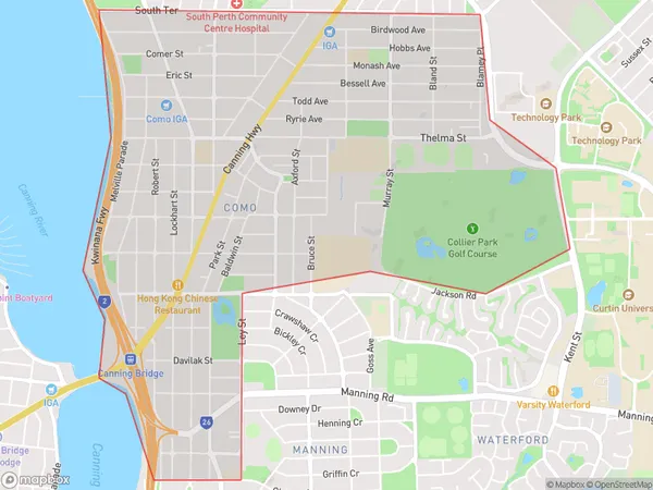
Canning Bridge ApplecrossCanning Bridge Applecross Suburb Area Map (Polygon)
Canning Bridge Applecross Introduction
Canning Bridge Applecross is a residential suburb in Perth, Western Australia, located on the southern bank of the Swan River. It is known for its scenic views, parks, and recreational facilities, including the Canning Bridge Reserve and the Applecross Yacht Club. The suburb is also home to several schools, including Applecross Senior High School and Applecross Primary School.State Name
City or Big Region
District or Regional Area
Suburb Name
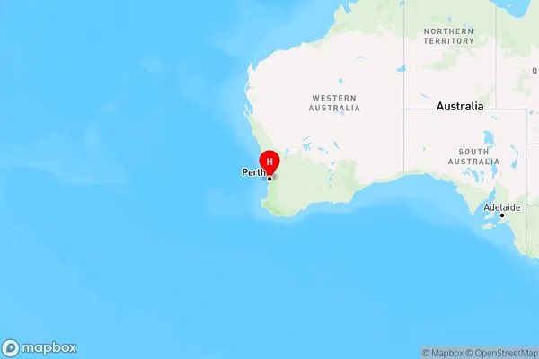
Canning Bridge Applecross Region Map
Country
Main Region in AU
R2Coordinates
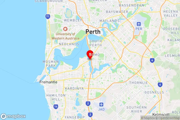
-32.0107,115.854 (latitude/longitude)Canning Bridge Applecross Area Map (Street)
Longitude
115.837525Latitude
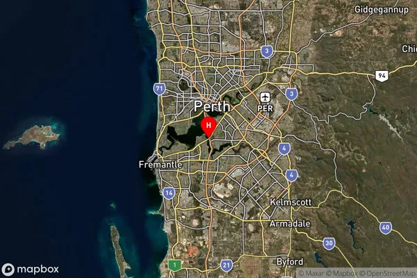
-32.024363Canning Bridge Applecross Suburb Map (Satellite)
Distances
The distance from Canning Bridge Applecross, Perth - South East, WA to AU Greater Capital CitiesSA1 Code 2011
50607114501SA1 Code 2016
50607114501SA2 Code
506071145SA3 Code
50607SA4 Code
506RA 2011
1RA 2016
1MMM 2015
1MMM 2019
1Charge Zone
W1LGA Region
MelvilleLGA Code
55320Electorate
Tangney