South Perth Suburbs & Region, South Perth Map & Postcodes
South Perth Suburbs & Region, South Perth Map & Postcodes in South Perth, Perth South East, WA, AU
South Perth Region
Region Name
South Perth (WA, AU)South Perth Area
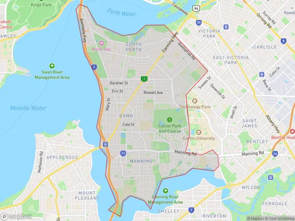
20.31 square kilometers (20.31 ㎢)South Perth Suburb Area Map (Polygon)
South Perth Introduction
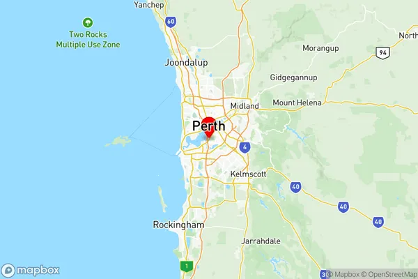
South Perth is a suburb of Perth, the capital city of Western Australia, located in the Perth South East region. It is situated on the southern bank of the Swan River and is approximately 6 kilometers from Perth's central business district (CBD). South Perth has a rich history and is known for its beautiful parks, gardens, and riverfront. The suburb is home to a variety of residential properties, including apartments, townhouses, and detached homes. It also has a vibrant cultural scene, with numerous art galleries, museums, and theaters. South Perth is well-connected to other parts of the city, with public transportation options such as buses and trains. The suburb also has a number of shopping centers, restaurants, and cafes, making it a popular destination for locals and tourists alike.Australia State
City or Big Region
District or Regional Area
South Perth Region Map
South Perth Suburbs
Manning Waterford
South Perth Kensington
South Perth full address
South Perth, Perth South East, Western Australia, WA, Australia, SaCode: 50607Country
South Perth, Perth South East, Western Australia, WA, Australia, SaCode: 50607
South Perth Suburbs & Region, South Perth Map & Postcodes has 2 areas or regions above, and there are 0 South Perth suburbs below. The sa3code for the South Perth region is 50607. Its latitude and longitude coordinates are -32.0011,115.862.