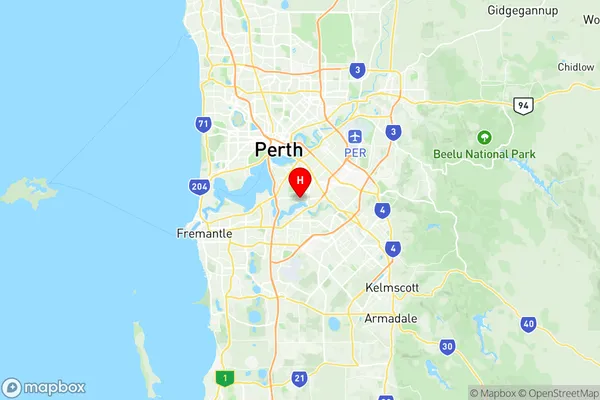
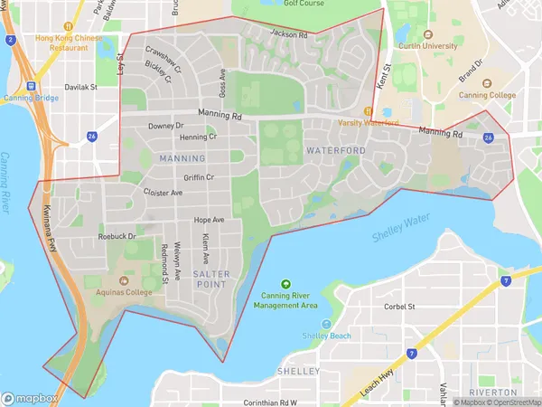
Manning Waterford Suburbs & Region, Manning Waterford Map & Postcodes
Manning Waterford Suburbs & Region, Manning Waterford Map & Postcodes in Manning Waterford, South Perth, Perth South East, WA, AU
Manning Waterford Region
Region Name
Manning Waterford (WA, AU)Manning Waterford Area
6.16 square kilometers (6.16 ㎢)Manning Waterford Introduction
Manning Waterford is a suburb in the City of Perth, Western Australia, located 10 kilometers southeast of Perth's central business district (CBD). It is part of the City of Stirling local government area. The suburb was named after Sir William Manning, who was the Governor of Western Australia from 1890 to 1896. Manning Waterford is a primarily residential area with a mix of single-family homes, apartments, and townhouses. It has a variety of amenities, including parks, schools, shopping centers, and medical facilities. The suburb is also home to the Manning River, which provides opportunities for fishing, boating, and swimming.Australia State
City or Big Region
Greater Capital City
Greater Perth (5GPER)District or Regional Area
Suburb Name
Manning Waterford Region Map

Manning Waterford Suburbs
Manning Waterford full address
Manning Waterford, South Perth, Perth South East, Western Australia, WA, Australia, SaCode: 506071146Country
Manning Waterford, South Perth, Perth South East, Western Australia, WA, Australia, SaCode: 506071146
Manning Waterford Suburbs & Region, Manning Waterford Map & Postcodes has 0 areas or regions above, and there are 0 Manning Waterford suburbs below. The sa2code for the Manning Waterford region is 506071146. Its latitude and longitude coordinates are -32.0145,115.89. Manning Waterford area belongs to Australia's greater capital city Greater Perth.
