Como Area, Como Postcode(6152) & Map in Como, Perth - South East, WA
Como Area, Como Postcode(6152) & Map in Como, Perth - South East, WA, AU, Postcode: 6152
Como, Como, South Perth, Perth - South East, Western Australia, Australia, 6152
Como Postcode
Area Name
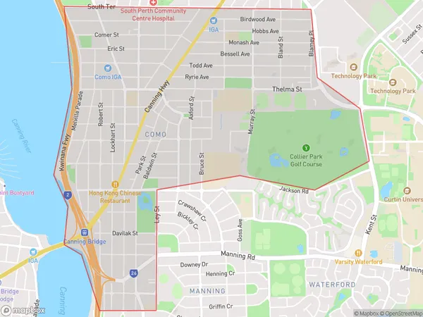
ComoComo Suburb Area Map (Polygon)
Como Introduction
Como is a suburb of Perth, Western Australia, located 18 kilometers southeast of the central business district. It is known for its natural beauty, including the Swan River and the nearby hills. Como has a population of approximately 10,000 people and is home to a variety of amenities, including schools, shopping centers, and parks.State Name
City or Big Region
District or Regional Area
Suburb Name
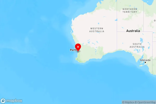
Como Region Map
Country
Main Region in AU
R2Coordinates
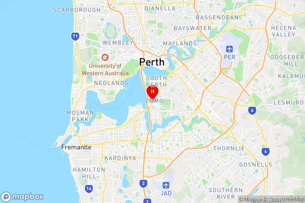
-32.0010903,115.8617166 (latitude/longitude)Como Area Map (Street)
Longitude
115.870058Latitude
-32.008509Como Elevation
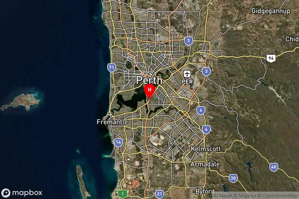
about 10.16 meters height above sea level (Altitude)Como Suburb Map (Satellite)
Distances
The distance from Como, Perth - South East, WA to AU Greater Capital CitiesSA1 Code 2011
50607114518SA1 Code 2016
50607114518SA2 Code
506071145SA3 Code
50607SA4 Code
506RA 2011
1RA 2016
1MMM 2015
1MMM 2019
1Charge Zone
W1LGA Region
South PerthLGA Code
57840Electorate
Swan