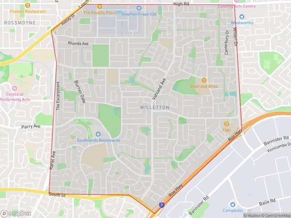
Willetton Area, Willetton Postcode(6155) & Map in Willetton, Perth - South East, WA
Willetton Area, Willetton Postcode(6155) & Map in Willetton, Perth - South East, WA, AU, Postcode: 6155
Willetton, Willetton, Canning, Perth - South East, Western Australia, Australia, 6155
Willetton Postcode
Area Name
WillettonWilletton Suburb Area Map (Polygon)
Willetton Introduction
Willetton is a suburb of Perth, Western Australia, located 15 kilometers southeast of the city center. It is known for its residential areas, parks, and shopping centers. The suburb has a population of approximately 15,000 people and is home to several schools, including Willetton Senior High School and Willetton Primary School.State Name
City or Big Region
District or Regional Area
Suburb Name
Willetton Region Map
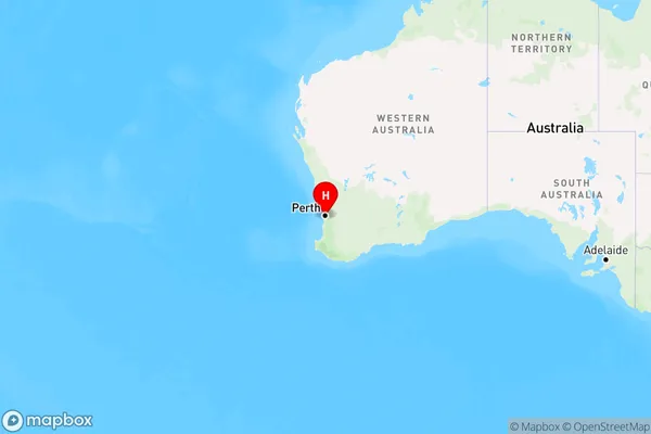
Country
Main Region in AU
R2Coordinates
-32.0487802,115.8921493 (latitude/longitude)Willetton Area Map (Street)
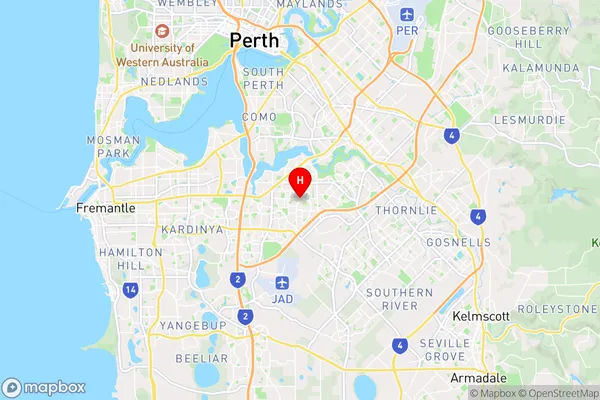
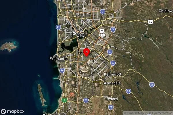
Longitude
115.890779Latitude
-32.061501Willetton Suburb Map (Satellite)
Distances
The distance from Willetton, Perth - South East, WA to AU Greater Capital CitiesSA1 Code 2011
50603113112SA1 Code 2016
50603113112SA2 Code
506031131SA3 Code
50603SA4 Code
506RA 2011
1RA 2016
1MMM 2015
1MMM 2019
1Charge Zone
W1LGA Region
CanningLGA Code
51330Electorate
Tangney