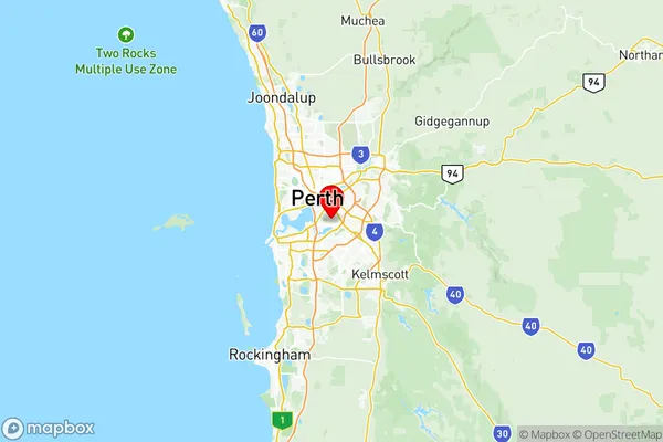
Canning Suburbs & Region, Canning Map & Postcodes
Canning Suburbs & Region, Canning Map & Postcodes in Canning, Perth South East, WA, AU
Canning Region
Region Name
Canning (WA, AU)Canning Area
68.19 square kilometers (68.19 ㎢)Postal Codes
6102, 6106, 6148, 6982, 6983, and 6986 (In total, there are 6 postcodes in Canning.)Canning Introduction
Canning is a suburb of Perth, the capital city of Western Australia, located 10 kilometers southeast of the Perth central business district (CBD). It is part of the City of Canning and is named after the Canning River, which flows through it. The suburb has a population of around 30,000 people and is known for its diverse community and modern infrastructure. It is home to several parks, including Canning River Regional Park, which offers a variety of recreational facilities and is a popular spot for picnics and outdoor activities. Canning also has a shopping center, several schools, and a hospital. The suburb is well-connected to the rest of Perth via public transportation, with several bus routes and the Canning Bridge linking it to the CBD.Australia State
City or Big Region
District or Regional Area
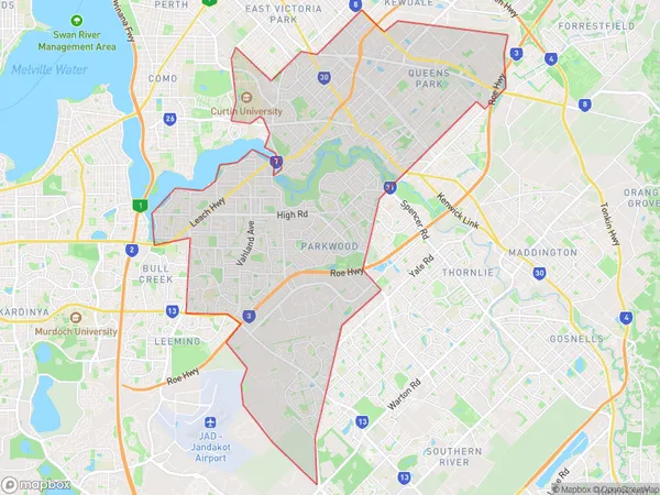
Canning Region Map

Canning Postcodes / Zip Codes
Canning Suburbs
Canning Vale West
Parkwood Ferndale Lynwood
Riverton Shelley Rossmoyne
Canning full address
Canning, Perth South East, Western Australia, WA, Australia, SaCode: 50603Country
Canning, Perth South East, Western Australia, WA, Australia, SaCode: 50603
Canning Suburbs & Region, Canning Map & Postcodes has 4 areas or regions above, and there are 13 Canning suburbs below. The sa3code for the Canning region is 50603. Its latitude and longitude coordinates are -32.0041,115.896.
Canning Suburbs & Localities
1. St James
2. Welshpool
3. Bentley
4. Welshpool Dc
5. Bentley Dc
6. Bentley South
7. Rossmoyne
8. Riverton
9. Shelley
10. Ferndale
11. Bentley
12. Bentley Dc
13. Welshpool Dc
