Bentley Area, Bentley Postcode(6102) & Map in Bentley, Perth - South East, WA
Bentley Area, Bentley Postcode(6102) & Map in Bentley, Perth - South East, WA, AU, Postcode: 6102
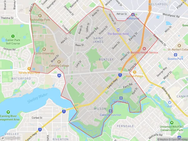
Bentley, Bentley - Wilson - St James, Canning, Perth - South East, Western Australia, Australia, 6102
Bentley Postcode
Area Name
BentleyBentley Suburb Area Map (Polygon)
Bentley Introduction
Bentley is a suburb of Perth, Western Australia, located 12 kilometers southeast of the central business district. It is known for its affluent residents, large homes, and lush parks. The suburb is home to several schools, including Bentley Primary School and Bentley Senior High School.State Name
City or Big Region
District or Regional Area
Suburb Name
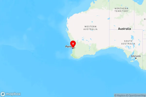
Bentley Region Map
Country
Main Region in AU
R2Coordinates
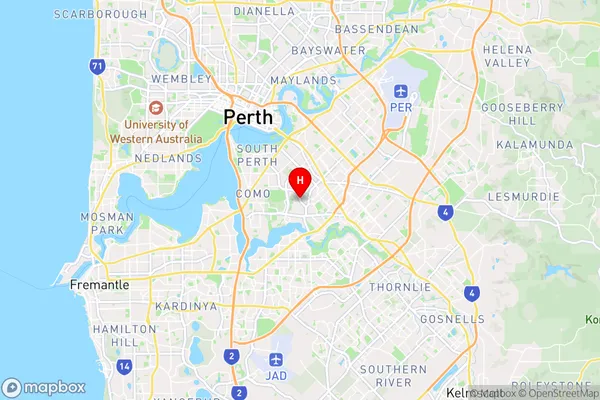
-32.0041058,115.8964003 (latitude/longitude)Bentley Area Map (Street)
Longitude
115.904425Latitude
-32.005644Bentley Elevation
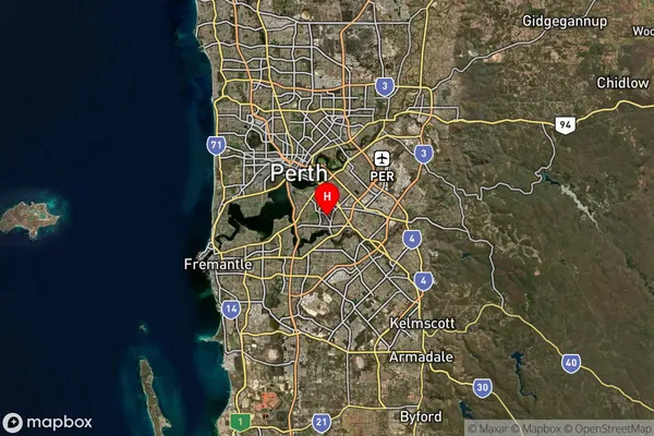
about 13.42 meters height above sea level (Altitude)Bentley Suburb Map (Satellite)
Distances
The distance from Bentley, Perth - South East, WA to AU Greater Capital CitiesSA1 Code 2011
50603112417SA1 Code 2016
50603112417SA2 Code
506031124SA3 Code
50603SA4 Code
506RA 2011
1RA 2016
1MMM 2015
1MMM 2019
1Charge Zone
W1LGA Region
Victoria ParkLGA Code
58510Electorate
Swan