Shelley Area, Shelley Postcode(6148) & Map in Shelley, Perth - South East, WA
Shelley Area, Shelley Postcode(6148) & Map in Shelley, Perth - South East, WA, AU, Postcode: 6148
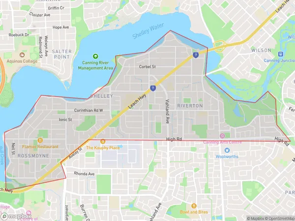
Shelley, Riverton - Shelley - Rossmoyne, Canning, Perth - South East, Western Australia, Australia, 6148
Shelley Postcode
Area Name
ShelleyShelley Suburb Area Map (Polygon)
Shelley Introduction
Shelley is a suburb of Perth, Western Australia, located in the City of Cockburn. It is named after the poet Percy Bysshe Shelley and has a population of approximately 13,000 people. Shelley is known for its natural beauty, including the nearby Beeliar Regional Park and the Cockburn Central shopping center.State Name
City or Big Region
District or Regional Area
Suburb Name
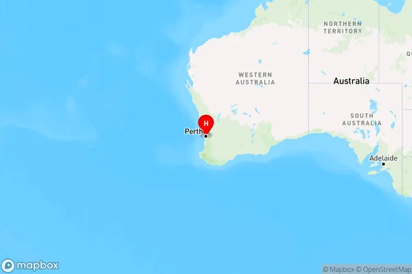
Shelley Region Map
Country
Main Region in AU
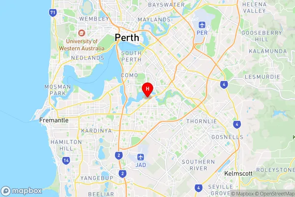
R2Coordinates
-32.0278545,115.8895276 (latitude/longitude)Shelley Area Map (Street)
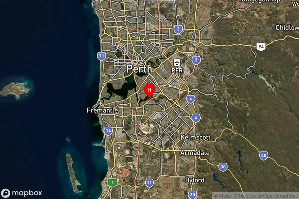
Longitude
115.924691Latitude
-32.030183Shelley Suburb Map (Satellite)
Distances
The distance from Shelley, Perth - South East, WA to AU Greater Capital CitiesSA1 Code 2011
50603112903SA1 Code 2016
50603112903SA2 Code
506031129SA3 Code
50603SA4 Code
506RA 2011
1RA 2016
1MMM 2015
1MMM 2019
1Charge Zone
W1LGA Region
CanningLGA Code
51330Electorate
Tangney