Coolbellup Suburbs & Region, Coolbellup Map & Postcodes
Coolbellup Suburbs & Region, Coolbellup Map & Postcodes in Coolbellup, Melville, Perth South West, WA, AU
Coolbellup Region
Region Name
Coolbellup (WA, AU)Coolbellup Area
4.52 square kilometers (4.52 ㎢)Coolbellup Introduction
Coolbellup is a suburb of Perth, the capital city of Western Australia, and is located in the City of Cockburn. It is named after the native coolbellum tree, which is prevalent in the area. The suburb has a population of around 4,000 people and is known for its natural beauty, with several parks and reserves nearby. It is also home to the Coolbellup Nature Reserve, which is a significant conservation area with a variety of plant and animal species. The suburb is located about 15 kilometers south of Perth's central business district and is well-connected to the rest of the city via public transport.Australia State
City or Big Region
Greater Capital City
Greater Perth (5GPER)District or Regional Area
Suburb Name
Coolbellup Region Map

Coolbellup Suburbs
Coolbellup full address
Coolbellup, Melville, Perth South West, Western Australia, WA, Australia, SaCode: 507011153Country
Coolbellup, Melville, Perth South West, Western Australia, WA, Australia, SaCode: 507011153
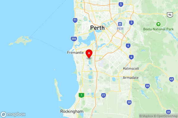
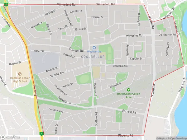
Coolbellup Suburbs & Region, Coolbellup Map & Postcodes has 0 areas or regions above, and there are 0 Coolbellup suburbs below. The sa2code for the Coolbellup region is 507011153. Its latitude and longitude coordinates are -32.079,115.822. Coolbellup area belongs to Australia's greater capital city Greater Perth.
