Manjimup Suburbs & Region, Manjimup Map & Postcodes
Manjimup Suburbs & Region, Manjimup Map & Postcodes in Manjimup, Bunbury, WA, AU
Manjimup Region
Region Name
Manjimup (WA, AU)Manjimup Area
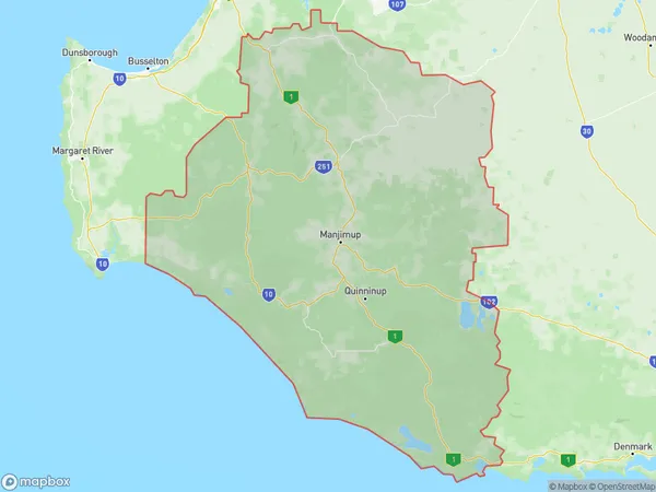
15689 square kilometers (15,689 ㎢)Manjimup Suburb Area Map (Polygon)
Manjimup Introduction
Manjimup is a town in the South West region of Western Australia, 226 kilometers south of Perth, the state capital. It is part of the Bunbury Region and is located within the City of Bunbury local government area. The town is named after the Manjimup timber mill, which was established in 1912. The mill was the main source of employment in the town until it closed in 1994. Today, Manjimup is a popular tourist destination known for its natural beauty, including the Karri forests and the Pemberton National Park. The town has a population of around 10,000 people and is home to a number of attractions, including the Manjimup Visitor Centre, the Manjimup Timber Museum, and the Manjimup Lavender Farm.Australia State
City or Big Region
District or Regional Area
Manjimup Region Map
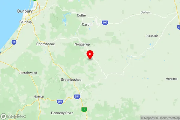
Manjimup Suburbs
Bridgetown Boyup Brook
Donnybrook Balingup
Manjimup full address
Manjimup, Bunbury, Western Australia, WA, Australia, SaCode: 50103Country
Manjimup, Bunbury, Western Australia, WA, Australia, SaCode: 50103
Manjimup Suburbs & Region, Manjimup Map & Postcodes has 4 areas or regions above, and there are 0 Manjimup suburbs below. The sa3code for the Manjimup region is 50103. Its latitude and longitude coordinates are -33.7,116.233.