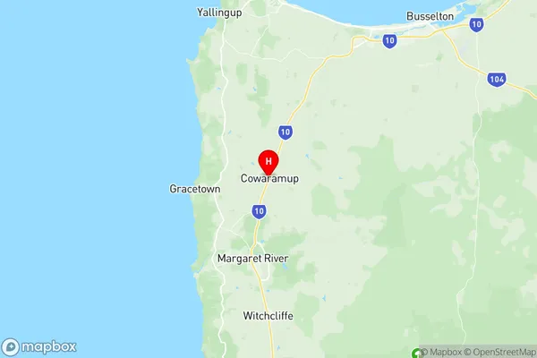
Augusta Suburbs & Region, Augusta Map & Postcodes
Augusta Suburbs & Region, Augusta Map & Postcodes in Augusta, Manjimup, Bunbury, WA, AU
Augusta Region
Region Name
Augusta (WA, AU)Augusta Area
2107 square kilometers (2,107 ㎢)Augusta Introduction
Augusta is a locality in the City of Bunbury, Western Australia, Australia. It is located 20 kilometers south of Bunbury's central business district and 112 kilometers south of Perth, the state capital. Augusta is part of the City of Bunbury local government area. The town was named after Augusta, Princess of Wales. It is a popular tourist destination due to its proximity to the Bunbury beach and the Bunbury Regional Art Gallery.Australia State
City or Big Region
Greater Capital City
Rest of WA (5RWAU)District or Regional Area
Suburb Name
Augusta Region Map

Augusta Suburbs
Augusta full address
Augusta, Manjimup, Bunbury, Western Australia, WA, Australia, SaCode: 501011001Country
Augusta, Manjimup, Bunbury, Western Australia, WA, Australia, SaCode: 501011001
Augusta Suburbs & Region, Augusta Map & Postcodes has 0 areas or regions above, and there are 0 Augusta suburbs below. The sa2code for the Augusta region is 501011001. Its latitude and longitude coordinates are -33.8522,115.101. Augusta area belongs to Australia's greater capital city Rest of WA.
