Treeton Area, Treeton Postcode(6284) & Map in Treeton, Bunbury, WA
Treeton Area, Treeton Postcode(6284) & Map in Treeton, Bunbury, WA, AU, Postcode: 6284
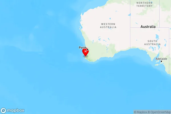
Treeton, Augusta, Augusta - Margaret River - Busselton, Bunbury, Western Australia, Australia, 6284
Treeton Postcode
Area Name
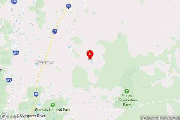
TreetonTreeton Suburb Area Map (Polygon)

Treeton Introduction
Treeton is a suburb of Bunbury, Western Australia, located 17 kilometers south of the city center. It is known for its natural beauty, including the Treeton National Park and the Leschenault Estuary. The suburb has a population of approximately 5,000 people and is home to a variety of businesses and amenities, including a primary school, a shopping center, and a golf course.State Name
City or Big Region
District or Regional Area
Suburb Name
Treeton Region Map
Country
Main Region in AU
R3Coordinates
-33.8469994,115.2075918 (latitude/longitude)Treeton Area Map (Street)
Longitude
115.188682Latitude
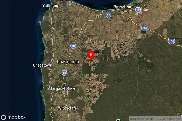
-33.857591Treeton Suburb Map (Satellite)
Distances
The distance from Treeton, Bunbury, WA to AU Greater Capital CitiesSA1 Code 2011
50101100112SA1 Code 2016
50101100112SA2 Code
501011001SA3 Code
50101SA4 Code
501RA 2011
2RA 2016
2MMM 2015
5MMM 2019
5Charge Zone
W2LGA Region
Augusta Margaret RiverLGA Code
50280Electorate
Forrest