Newlands Area, Newlands Postcode(6251) & Map in Newlands, Bunbury, WA
Newlands Area, Newlands Postcode(6251) & Map in Newlands, Bunbury, WA, AU, Postcode: 6251
Newlands, Donnybrook - Balingup, Manjimup, Bunbury, Western Australia, Australia, 6251
Newlands Postcode
Area Name
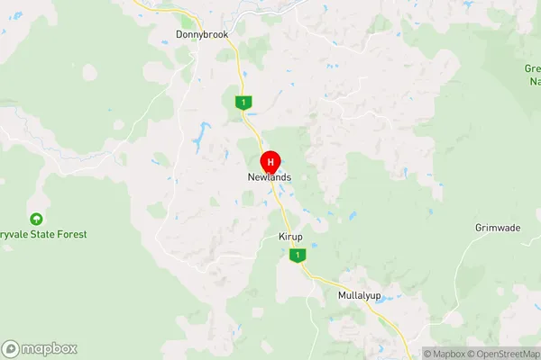
NewlandsNewlands Suburb Area Map (Polygon)

Newlands Introduction
Newlands is a suburb of Bunbury, WA, AU, located 17 km south of the city center. It is known for its beaches, parks, and recreational facilities, including the Bunbury Golf Club and the Bunbury Wildlife Park.State Name
City or Big Region
District or Regional Area
Suburb Name
Newlands Region Map
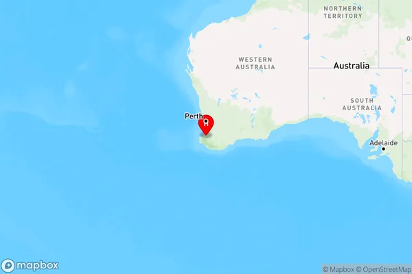
Country
Main Region in AU
R3Coordinates
-33.6699137,115.8773987 (latitude/longitude)Newlands Area Map (Street)
Longitude
115.888662Latitude
-33.682661Newlands Elevation
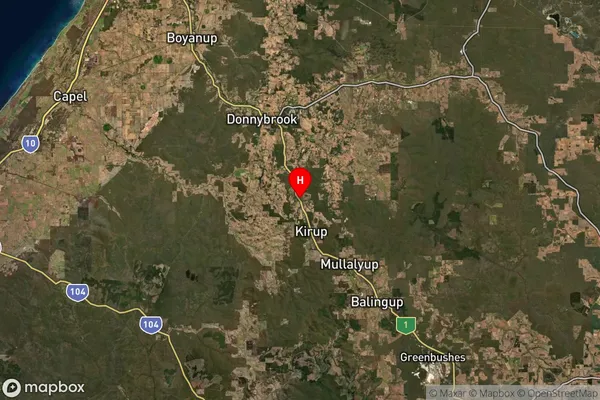
about 222.78 meters height above sea level (Altitude)Newlands Suburb Map (Satellite)
Distances
The distance from Newlands, Bunbury, WA to AU Greater Capital CitiesSA1 Code 2011
50103101812SA1 Code 2016
50103101812SA2 Code
501031018SA3 Code
50103SA4 Code
501RA 2011
2RA 2016
2MMM 2015
5MMM 2019
5Charge Zone
W2LGA Region
Donnybrook-BalingupLGA Code
52870Electorate
Forrest