Greenbushes Area, Greenbushes Postcode(6254) & Map in Greenbushes, Bunbury, WA
Greenbushes Area, Greenbushes Postcode(6254) & Map in Greenbushes, Bunbury, WA, AU, Postcode: 6254
Greenbushes, Bridgetown - Boyup Brook, Manjimup, Bunbury, Western Australia, Australia, 6254
Greenbushes Postcode
Area Name
GreenbushesGreenbushes Suburb Area Map (Polygon)

Greenbushes Introduction
Greenbushes, Bunbury, WA, AU is a lithium mine that produces lithium hydroxide and spodumene concentrate. It is one of the largest lithium mines in the world and is owned by Talison Lithium. The mine has been in operation since 2008 and has a production capacity of 40,000 tonnes of lithium hydroxide per year.State Name
City or Big Region
District or Regional Area
Suburb Name
Greenbushes Region Map

Country
Main Region in AU
R3Coordinates
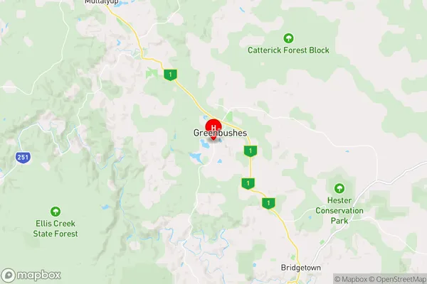
-33.8567992,116.0532266 (latitude/longitude)Greenbushes Area Map (Street)
Longitude
116.072643Latitude
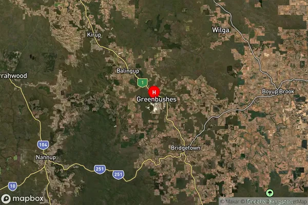
-33.844406Greenbushes Suburb Map (Satellite)
Distances
The distance from Greenbushes, Bunbury, WA to AU Greater Capital CitiesSA1 Code 2011
50103101707SA1 Code 2016
50103101707SA2 Code
501031017SA3 Code
50103SA4 Code
501RA 2011
3RA 2016
3MMM 2015
5MMM 2019
5Charge Zone
W2LGA Region
Bridgetown-GreenbushesLGA Code
50840Electorate
Forrest