Bridgetown Boyup Brook Suburbs & Region, Bridgetown Boyup Brook Map & Postcodes
Bridgetown Boyup Brook Suburbs & Region, Bridgetown Boyup Brook Map & Postcodes in Bridgetown Boyup Brook, Manjimup, Bunbury, WA, AU
Bridgetown Boyup Brook Region
Region Name
Bridgetown Boyup Brook (WA, AU)Bridgetown Boyup Brook Area
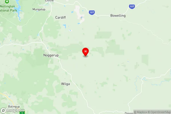
4164 square kilometers (4,164 ㎢)Bridgetown Boyup Brook Suburb Area Map (Polygon)

Bridgetown Boyup Brook Introduction
Bridgetown Boyup Brook is a small town in the South West region of Western Australia, located approximately 260 kilometers south of Perth and 12 kilometers north of Bunbury. The town is situated in the Shire of Bunbury and is part of the Bunbury-Geographe region. The town has a population of around 1,200 people and is known for its beautiful natural surroundings, including the Boyup Brook Forest and the surrounding farmland. The town has a primary school, a post office, a general store, and a community hall. The town is also home to a number of wineries and breweries, which are located in the surrounding countryside. The town is surrounded by stunning natural beauty, including the Darling Range and the South West Coastal Plain. The town is a popular destination for tourists and is known for its outdoor activities, including hiking, fishing, and camping.Australia State
City or Big Region
Greater Capital City
Rest of WA (5RWAU)District or Regional Area
Suburb Name
Bridgetown Boyup Brook Region Map
Bridgetown Boyup Brook Suburbs
Bridgetown Boyup Brook full address
Bridgetown Boyup Brook, Manjimup, Bunbury, Western Australia, WA, Australia, SaCode: 501031017Country
Bridgetown Boyup Brook, Manjimup, Bunbury, Western Australia, WA, Australia, SaCode: 501031017
Bridgetown Boyup Brook Suburbs & Region, Bridgetown Boyup Brook Map & Postcodes has 0 areas or regions above, and there are 0 Bridgetown Boyup Brook suburbs below. The sa2code for the Bridgetown Boyup Brook region is 501031017. Its latitude and longitude coordinates are -33.5876,116.328. Bridgetown Boyup Brook area belongs to Australia's greater capital city Rest of WA.