North Greenbushes Area, North Greenbushes Postcode(6254) & Map in North Greenbushes, Bunbury, WA
North Greenbushes Area, North Greenbushes Postcode(6254) & Map in North Greenbushes, Bunbury, WA, AU, Postcode: 6254
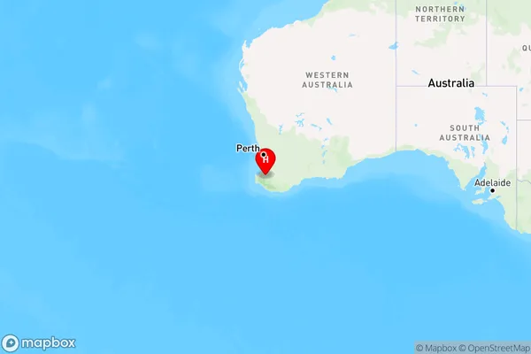
North Greenbushes, Bridgetown - Boyup Brook, Manjimup, Bunbury, Western Australia, Australia, 6254
North Greenbushes Postcode
Area Name
North GreenbushesNorth Greenbushes Suburb Area Map (Polygon)

North Greenbushes Introduction
North Greenbushes is a suburb of Bunbury, Western Australia, located 15 kilometers south of the city center. It is known for its natural beauty, including the Greenbushes Forest Reserve and the Leschenault Estuary. The suburb has a population of approximately 10,000 people and is home to a variety of businesses and amenities, including a shopping center, schools, and healthcare facilities.State Name
City or Big Region
District or Regional Area
Suburb Name
North Greenbushes Region Map
Country
Main Region in AU
R3Coordinates
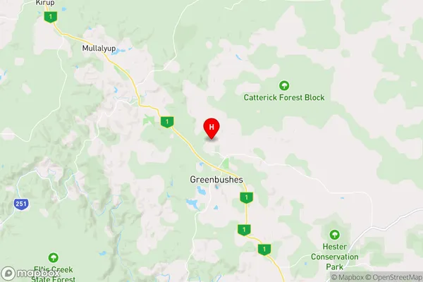
-33.8182505,116.0548039 (latitude/longitude)North Greenbushes Area Map (Street)
Longitude
116.072643Latitude
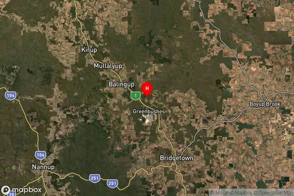
-33.844406North Greenbushes Suburb Map (Satellite)
Distances
The distance from North Greenbushes, Bunbury, WA to AU Greater Capital CitiesSA1 Code 2011
50103101707SA1 Code 2016
50103101707SA2 Code
501031017SA3 Code
50103SA4 Code
501RA 2011
3RA 2016
3MMM 2015
5MMM 2019
5Charge Zone
W2LGA Region
Bridgetown-GreenbushesLGA Code
50840Electorate
Forrest