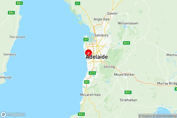
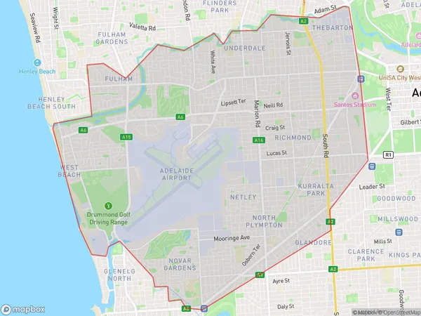
West Torrens Suburbs & Region, West Torrens Map & Postcodes
West Torrens Suburbs & Region, West Torrens Map & Postcodes in West Torrens, Adelaide West, SA, AU
West Torrens Region
Region Name
West Torrens (SA, AU)West Torrens Area
38.45 square kilometers (38.45 ㎢)Postal Codes
5024, 5025, from 5031 to 5033, 5035, 5037, 5038, 5040, 5045, and 5950 (In total, there are 11 postcodes in West Torrens.)West Torrens Introduction
West Torrens is a suburb of Adelaide in South Australia. It is located in the City of Charles Sturt and is bordered by the suburbs of North Adelaide, St Peters, and Marion. West Torrens is known for its historic homes, leafy streets, and vibrant community. It is home to several parks, including West Lakes and Athelstone Park, and is within walking distance of the Adelaide CBD. The suburb has a strong sense of community and is home to a variety of cultural and recreational facilities, including the West Torrens Football Club and the West Torrens Cricket Club.Australia State
City or Big Region
District or Regional Area
West Torrens Region Map

West Torrens Postcodes / Zip Codes
West Torrens Suburbs
Goodwood Millswood
Adelaide Airport
West Torrens full address
West Torrens, Adelaide West, South Australia, SA, Australia, SaCode: 40403Country
West Torrens, Adelaide West, South Australia, SA, Australia, SaCode: 40403
West Torrens Suburbs & Region, West Torrens Map & Postcodes has 10 areas or regions above, and there are 42 West Torrens suburbs below. The sa3code for the West Torrens region is 40403. Its latitude and longitude coordinates are -34.9454,138.524.
West Torrens Suburbs & Localities
1. Fulham
2. Fulham Gardens
3. West Beach
4. Flinders Park
5. Kidman Park
6. Mile End
7. Mile End South
8. Thebarton
9. Torrensville
10. Torrensville Plaza
11. Brooklyn Park
12. Lockleys
13. Underdale
14. Cowandilla
15. Hilton
16. Hilton Plaza
17. Marleston
18. Marleston Dc
19. Richmond
20. West Richmond
21. Ashford
22. Black Forest
23. Everard Park
24. Forestville
25. Keswick
26. Keswick Terminal
27. Glandore
28. Kurralta Park
29. Netley
30. North Plympton
31. Camden Park
32. Plympton
33. Plympton Park
34. South Plympton
35. Novar Gardens
36. Glenelg
37. Glenelg East
38. Glenelg Jetty Road
39. Glenelg North
40. Glenelg South
41. Adelaide Airport
42. Export Park
