Glenelg (SA) Suburbs & Region, Glenelg (SA) Map & Postcodes
Glenelg (SA) Suburbs & Region, Glenelg (SA) Map & Postcodes in Glenelg (SA), West Torrens, Adelaide West, SA, AU
Glenelg (SA) Region
Region Name
Glenelg (SA) (SA, AU)Glenelg (SA) Area
7.22 square kilometers (7.22 ㎢)Postal Codes
5044, and 5045 (In total, there are 2 postcodes in Glenelg (SA).)Glenelg (SA) Introduction
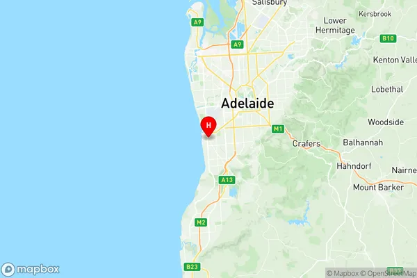
Glenelg is a suburb of Adelaide, South Australia, and is located 5 km from the Adelaide city center on the southern shore of Gulf St Vincent. It is known for its beautiful beaches, vibrant culture, and historic buildings. The suburb has a population of around 40,000 people and is home to many popular attractions, including the Glenelg tram, the Adelaide Oval, and the South Australian Museum. It is also a popular destination for tourists and has a number of hotels, restaurants, and cafes.Australia State
City or Big Region
Greater Capital City
Greater Adelaide (4GADE)District or Regional Area
Suburb Name
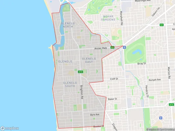
Glenelg (SA) Region Map

Glenelg (SA) Postcodes / Zip Codes
Glenelg (SA) Suburbs
Glenelg (SA) full address
Glenelg (SA), West Torrens, Adelaide West, South Australia, SA, Australia, SaCode: 403011057Country
Glenelg (SA), West Torrens, Adelaide West, South Australia, SA, Australia, SaCode: 403011057
Glenelg (SA) Suburbs & Region, Glenelg (SA) Map & Postcodes has 0 areas or regions above, and there are 6 Glenelg (SA) suburbs below. The sa2code for the Glenelg (SA) region is 403011057. Its latitude and longitude coordinates are -34.986,138.523. Glenelg (SA) area belongs to Australia's greater capital city Greater Adelaide.
Glenelg (SA) Suburbs & Localities
1. Glenelg East
2. Glenelg South
3. Glenelg
4. Glenelg North
5. Somerton Park
6. Glenelg Jetty Road
