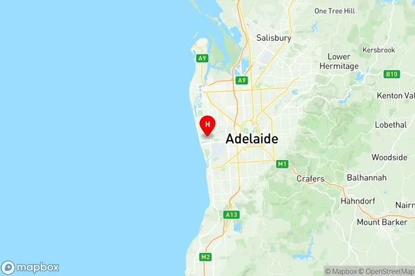
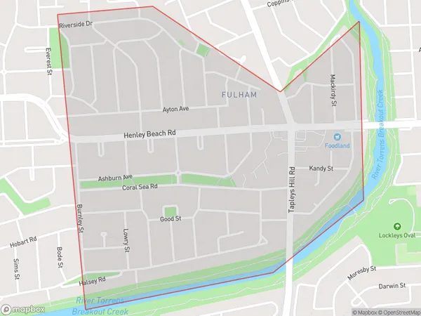
Fulham Suburbs & Region, Fulham Map & Postcodes
Fulham Suburbs & Region, Fulham Map & Postcodes in Fulham, West Torrens, Adelaide West, SA, AU
Fulham Region
Region Name
Fulham (SA, AU)Fulham Area
1.32 square kilometers (1.32 ㎢)Postal Codes
5024 (In total, there are 1 postcodes in Fulham.)Fulham Introduction
Fulham is a suburb of Adelaide in the Australian state of South Australia. It is located in the City of Charles Sturt and is part of the Adelaide Hills Council. The suburb is named after Fulham, a district in London, England. Fulham was established in the 1850s and was originally a rural area. It became a residential suburb in the early 20th century. The suburb is home to a variety of amenities, including a shopping center, a primary school, a community center, and a park. It is also close to the Adelaide Hills and the Mount Lofty Ranges, providing opportunities for outdoor recreation. Fulham is a popular suburb for families and young professionals, with a mix of older and newer homes.Australia State
City or Big Region
Greater Capital City
Greater Adelaide (4GADE)District or Regional Area
Suburb Name
Fulham Region Map

Fulham Postcodes / Zip Codes
Fulham Suburbs
Fulham full address
Fulham, West Torrens, Adelaide West, South Australia, SA, Australia, SaCode: 404031105Country
Fulham, West Torrens, Adelaide West, South Australia, SA, Australia, SaCode: 404031105
Fulham Suburbs & Region, Fulham Map & Postcodes has 0 areas or regions above, and there are 1 Fulham suburbs below. The sa2code for the Fulham region is 404031105. Its latitude and longitude coordinates are -34.927,138.512. Fulham area belongs to Australia's greater capital city Greater Adelaide.
Fulham Suburbs & Localities
1. Fulham
