Richmond (SA) Suburbs & Region, Richmond (SA) Map & Postcodes
Richmond (SA) Suburbs & Region, Richmond (SA) Map & Postcodes in Richmond (SA), West Torrens, Adelaide West, SA, AU
Richmond (SA) Region
Region Name
Richmond (SA) (SA, AU)Richmond (SA) Area
8.93 square kilometers (8.93 ㎢)Postal Codes
5031, 5033, and 5035 (In total, there are 3 postcodes in Richmond (SA).)Richmond (SA) Introduction
Richmond is a suburb of Adelaide in the Australian state of South Australia. It is located in the City of Norwood Payneham & St Peters. It is bordered by the Marion Road, North Road, and Port Road. The suburb was named after Richmond Palace in London, the home of the Duke of Richmond. Richmond is home to a number of historic buildings, including the Richmond Town Hall, which was built in 1888. The suburb also has a number of parks and reserves, including the Richmond Park and the Norwood Parklands.Australia State
City or Big Region
Greater Capital City
Greater Adelaide (4GADE)District or Regional Area
Suburb Name
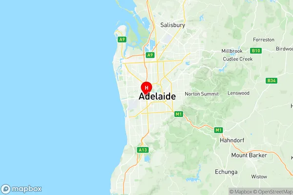
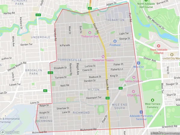
Richmond (SA) Region Map

Richmond (SA) Postcodes / Zip Codes
Richmond (SA) Suburbs
Richmond (SA) full address
Richmond (SA), West Torrens, Adelaide West, South Australia, SA, Australia, SaCode: 404031108Country
Richmond (SA), West Torrens, Adelaide West, South Australia, SA, Australia, SaCode: 404031108
Richmond (SA) Suburbs & Region, Richmond (SA) Map & Postcodes has 0 areas or regions above, and there are 11 Richmond (SA) suburbs below. The sa2code for the Richmond (SA) region is 404031108. Its latitude and longitude coordinates are -34.931,138.57. Richmond (SA) area belongs to Australia's greater capital city Greater Adelaide.
Richmond (SA) Suburbs & Localities
1. Hilton Plaza
2. Mile End
3. Torrensville
4. Torrensville Plaza
5. West Richmond
6. Mile End South
7. Thebarton
8. Hilton
9. Richmond
10. Cowandilla
11. Keswick Terminal
