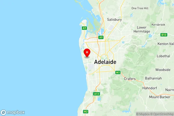
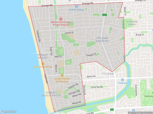
Henley Beach Suburbs & Region, Henley Beach Map & Postcodes
Henley Beach Suburbs & Region, Henley Beach Map & Postcodes in Henley Beach, West Torrens, Adelaide West, SA, AU
Henley Beach Region
Region Name
Henley Beach (SA, AU)Henley Beach Area
5.96 square kilometers (5.96 ㎢)Henley Beach Introduction
Henley Beach is a suburb of Adelaide, South Australia, located 10 km west of the Adelaide city center. It is known for its beautiful sandy beaches, calm waters, and stunning sunsets. The suburb has a population of around 20,000 people and is popular with families, retirees, and tourists alike. Henley Beach has a variety of amenities, including a swimming pool, tennis courts, a skate park, and a variety of restaurants and cafes. It is also home to the Henley Square Shopping Center, which includes a supermarket, department store, and a range of specialty stores. The suburb is surrounded by natural beauty, with the Mount Lofty Ranges to the east and the Adelaide Hills to the west. It is also within easy reach of the city's other major attractions, including the Adelaide Zoo, the Adelaide Oval, and the South Australian Museum.Australia State
City or Big Region
Greater Capital City
Greater Adelaide (4GADE)District or Regional Area
Suburb Name
Henley Beach Region Map

Henley Beach Suburbs
Henley Beach full address
Henley Beach, West Torrens, Adelaide West, South Australia, SA, Australia, SaCode: 404011092Country
Henley Beach, West Torrens, Adelaide West, South Australia, SA, Australia, SaCode: 404011092
Henley Beach Suburbs & Region, Henley Beach Map & Postcodes has 0 areas or regions above, and there are 0 Henley Beach suburbs below. The sa2code for the Henley Beach region is 404011092. Its latitude and longitude coordinates are -34.913,138.514. Henley Beach area belongs to Australia's greater capital city Greater Adelaide.
