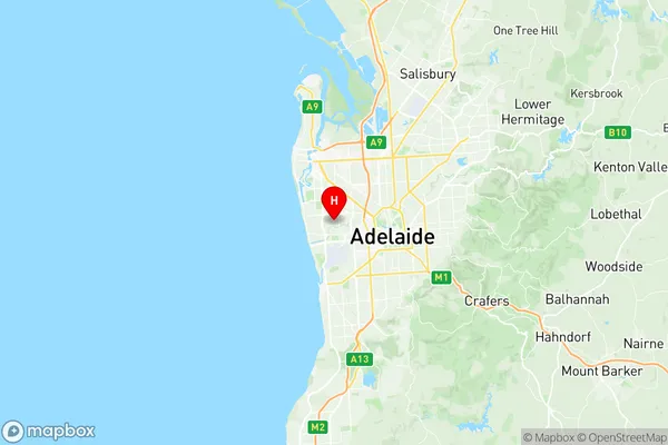
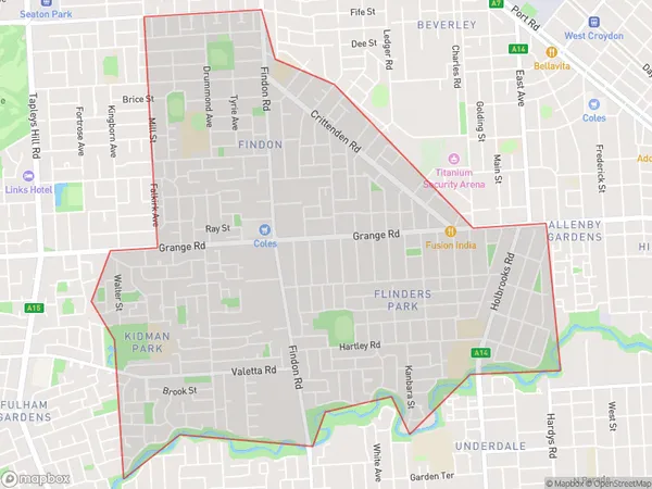
Flinders Park Suburbs & Region, Flinders Park Map & Postcodes
Flinders Park Suburbs & Region, Flinders Park Map & Postcodes in Flinders Park, West Torrens, Adelaide West, SA, AU
Flinders Park Region
Region Name
Flinders Park (SA, AU)Flinders Park Area
6.4 square kilometers (6.4 ㎢)Flinders Park Introduction
Flinders Park is a suburb of Adelaide in the Australian state of South Australia. It is located in the City of Charles Sturt and is bordered by Port Road, Marion Road, and the Southern Expressway. The suburb was named after Sir John Hindmarsh, who was the Governor of South Australia from 1856 to 1862. Flinders Park has a variety of housing styles, including single-story homes, duplexes, and apartments. The suburb is home to a number of parks and recreational facilities, including the Flinders Park Golf Course and the Flinders Park Tennis Club. It is also well-connected to the city center, with public transportation options such as buses and trains.Australia State
City or Big Region
Greater Capital City
Greater Adelaide (4GADE)District or Regional Area
Suburb Name
Flinders Park Region Map

Flinders Park Suburbs
Flinders Park full address
Flinders Park, West Torrens, Adelaide West, South Australia, SA, Australia, SaCode: 404011091Country
Flinders Park, West Torrens, Adelaide West, South Australia, SA, Australia, SaCode: 404011091
Flinders Park Suburbs & Region, Flinders Park Map & Postcodes has 0 areas or regions above, and there are 0 Flinders Park suburbs below. The sa2code for the Flinders Park region is 404011091. Its latitude and longitude coordinates are -34.914,138.528. Flinders Park area belongs to Australia's greater capital city Greater Adelaide.
