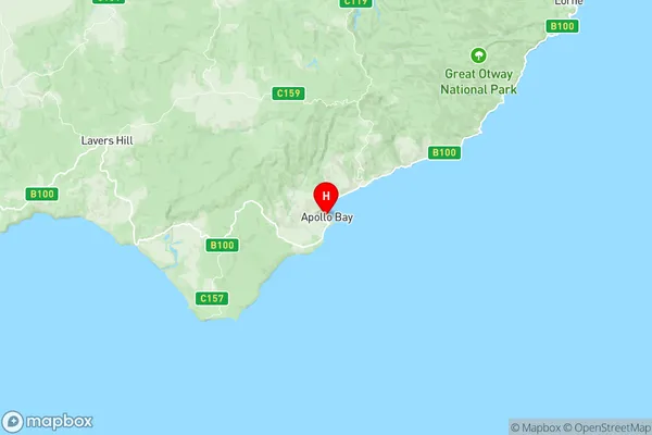
Otway Suburbs & Region, Otway Map & Postcodes
Otway Suburbs & Region, Otway Map & Postcodes in Otway, Warrnambool Otway Ranges, Warrnambool and South West, VIC, AU
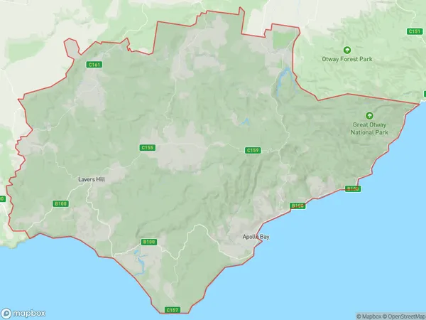
Otway Region
Region Name
Otway (VIC, AU)Otway Area
1506 square kilometers (1,506 ㎢)Postal Codes
3221, 3233, 3234, from 3236 to 3239, and 3249 (In total, there are 8 postcodes in Otway.)Otway Introduction
Otway, Warrnambool, and South West Victoria is a region in south-west Victoria, Australia. It is located in the Western District and includes the cities of Warrnambool, Port Fairy, and Apollo Bay. The region is known for its natural beauty, including the Great Ocean Road, the Otway Ranges, and the Moyne River. It is also home to a variety of industries, including agriculture, forestry, and tourism. The region has a population of approximately 400,000 people and is located approximately 350 kilometers south-west of Melbourne.Australia State
City or Big Region
Greater Capital City
Rest of Vic. (2RVIC)District or Regional Area
Suburb Name
Otway Region Map

Otway Postcodes / Zip Codes
Otway Suburbs
Otway full address
Otway, Warrnambool Otway Ranges, Warrnambool and South West, Victoria, VIC, Australia, SaCode: 217031476Country
Otway, Warrnambool Otway Ranges, Warrnambool and South West, Victoria, VIC, Australia, SaCode: 217031476
Otway Suburbs & Region, Otway Map & Postcodes has 0 areas or regions above, and there are 36 Otway suburbs below. The sa2code for the Otway region is 217031476. Its latitude and longitude coordinates are -38.7552,143.668. Otway area belongs to Australia's greater capital city Rest of Vic..
Otway Suburbs & Localities
1. Grey River
2. Separation Creek
3. Sugarloaf
4. Wye River
5. Apollo Bay
6. Separation Creek
7. Sugarloaf
8. Weeaproinah
9. Glenaire
10. Cape Otway
11. Petticoat Creek
12. Forrest
13. Mount Sabine
14. Ferguson
15. Johanna
16. Tanybryn
17. Marengo
18. Skenes Creek
19. Kennett River
20. Wongarra
21. Wye River
22. Aire Valley
23. Beech Forest
24. Carlisle River
25. Gellibrand
26. Barramunga
27. Kennett River
28. Wongarra
29. Skenes Creek North
30. Grey River
31. Wyelangta
32. Yuulong
33. Hordern Vale
34. Lavers Hill
35. Chapple Vale
36. Kawarren
