Cape Otway Area, Cape Otway Postcode(3233) & Map in Cape Otway, Warrnambool and South West, VIC
Cape Otway Area, Cape Otway Postcode(3233) & Map in Cape Otway, Warrnambool and South West, VIC, AU, Postcode: 3233
Cape Otway, Otway, Colac - Corangamite, Warrnambool and South West, Victoria, Australia, 3233
Cape Otway Postcode
Area Name
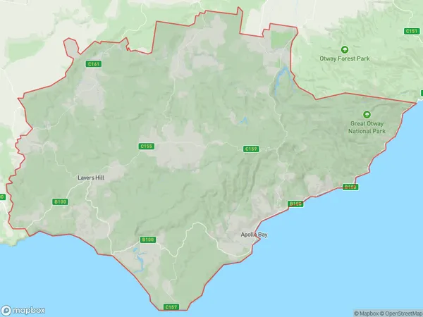
Cape OtwayCape Otway Suburb Area Map (Polygon)

Cape Otway Introduction
Cape Otway is a coastal town in Victoria, Australia. It is well-known for its lighthouse, which is the second-oldest operating lighthouse in the country. The town is surrounded by stunning coastal scenery, including the 12 Apostles and the Great Ocean Road. It is a popular destination for tourists and outdoor enthusiasts, with many opportunities for hiking, surfing, and fishing.State Name
City or Big Region
District or Regional Area
Suburb Name
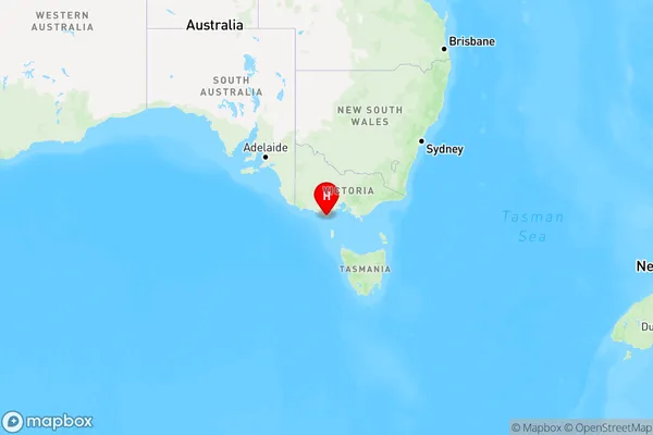
Cape Otway Region Map

Country
Main Region in AU
R3Coordinates
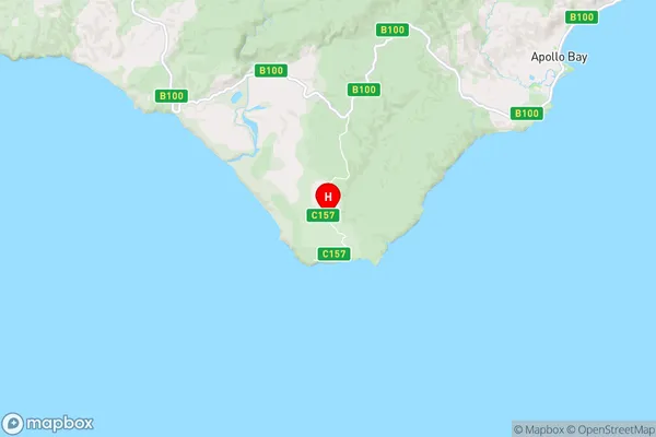
-38.8340286,143.5240583 (latitude/longitude)Cape Otway Area Map (Street)

Longitude
143.671777Latitude
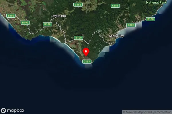
-38.679417Cape Otway Suburb Map (Satellite)

Distances
The distance from Cape Otway, Warrnambool and South West, VIC to AU Greater Capital CitiesSA1 Code 2011
21702143107SA1 Code 2016
21703147606SA2 Code
217031476SA3 Code
21703SA4 Code
217RA 2011
3RA 2016
3MMM 2015
5MMM 2019
5Charge Zone
V2LGA Region
Colac OtwayLGA Code
21750Electorate
Corangamite