Skenes Creek North Area, Skenes Creek North Postcode(3233) & Map in Skenes Creek North, Warrnambool and South West, VIC
Skenes Creek North Area, Skenes Creek North Postcode(3233) & Map in Skenes Creek North, Warrnambool and South West, VIC, AU, Postcode: 3233
Skenes Creek North, Otway, Colac - Corangamite, Warrnambool and South West, Victoria, Australia, 3233
Skenes Creek North Postcode
Area Name
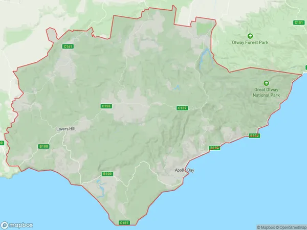
Skenes Creek NorthSkenes Creek North Suburb Area Map (Polygon)

Skenes Creek North Introduction
Skenes Creek North is a suburb in the City of Warrnambool, Victoria, Australia. It is located in the Western District and is named after the Skenes Creek, which flows through the suburb. The suburb has a population of around 4,000 people and is located 26 kilometers west of Warrnambool's central business district. It is surrounded by other suburbs such as Mount Gambier, Port Fairy, and Dowling Forest. Skenes Creek North has a variety of housing options, including single-family homes, apartments, and units. It also has a number of parks and recreational facilities, including a golf course, a cricket club, and a swimming pool. The suburb is well-connected to the rest of the city, with easy access to the Princes Highway and the Western Highway.State Name
City or Big Region
District or Regional Area
Suburb Name
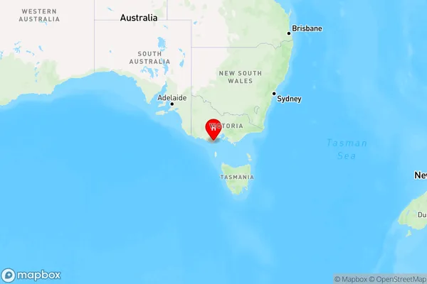
Skenes Creek North Region Map

Country
Main Region in AU
R3Coordinates
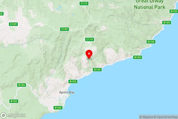
-38.6957938,143.7206469 (latitude/longitude)Skenes Creek North Area Map (Street)

Longitude
143.671777Latitude
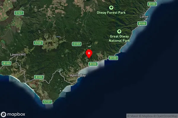
-38.679417Skenes Creek North Suburb Map (Satellite)

Distances
The distance from Skenes Creek North, Warrnambool and South West, VIC to AU Greater Capital CitiesSA1 Code 2011
21702143110SA1 Code 2016
21703147608SA2 Code
217031476SA3 Code
21703SA4 Code
217RA 2011
2RA 2016
2MMM 2015
5MMM 2019
5Charge Zone
V2LGA Region
Colac OtwayLGA Code
21750Electorate
Corangamite