Kennett River Area, Kennett River Postcode(3221) & Map in Kennett River, Warrnambool and South West, VIC
Kennett River Area, Kennett River Postcode(3221) & Map in Kennett River, Warrnambool and South West, VIC, AU, Postcode: 3221
Kennett River, Otway, Colac - Corangamite, Warrnambool and South West, Victoria, Australia, 3221
Kennett River Postcode
Area Name
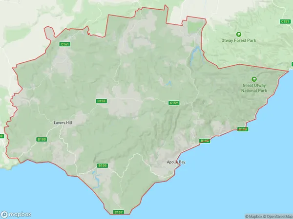
Kennett RiverKennett River Suburb Area Map (Polygon)

Kennett River Introduction
The Kennett River is located in the Western District of Victoria, Australia. It is a popular spot for fishing, swimming, and boating and is surrounded by beautiful forests and farmland. The river is also home to a variety of wildlife, including birds, mammals, and reptiles. The Kennett River is a great place to enjoy the natural beauty of Victoria and to relax and unwind.State Name
City or Big Region
District or Regional Area
Suburb Name
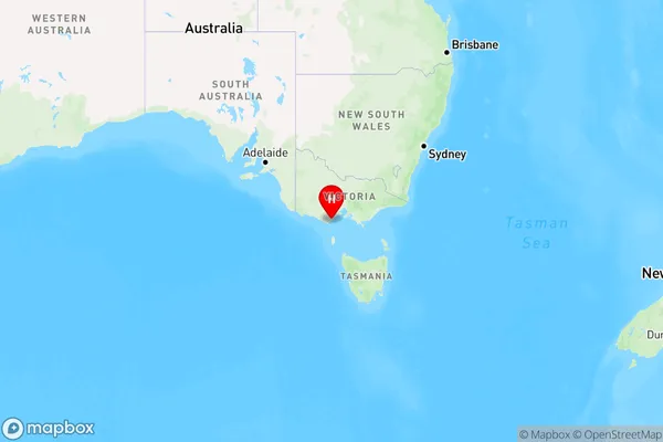
Kennett River Region Map

Country
Main Region in AU
R2Coordinates
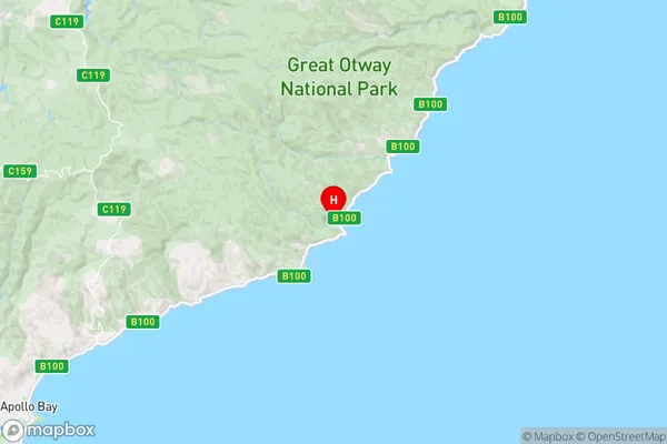
-38.6657459,143.8574394 (latitude/longitude)Kennett River Area Map (Street)

Longitude
144.427419Latitude
-38.181608Kennett River Elevation
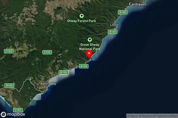
about 8.33 meters height above sea level (Altitude)Kennett River Suburb Map (Satellite)

Distances
The distance from Kennett River, Warrnambool and South West, VIC to AU Greater Capital CitiesSA1 Code 2011
21702143110SA1 Code 2016
21703147608SA2 Code
217031476SA3 Code
21703SA4 Code
217RA 2011
2RA 2016
2MMM 2015
5MMM 2019
5Charge Zone
V2LGA Region
Greater GeelongLGA Code
22750Electorate
Corangamite