Stawell Suburbs & Region, Stawell Map & Postcodes
Stawell Suburbs & Region, Stawell Map & Postcodes in Stawell, Murray River Swan Hill, North West, VIC, AU
Stawell Region
Region Name
Stawell (VIC, AU)Stawell Area
2743 square kilometers (2,743 ㎢)Stawell Suburb Area Map (Polygon)

Stawell Introduction
Stawell is a small town in north-west Victoria, Australia. It is located in the Shire of Buloke, 219 kilometers north-west of Melbourne, the state capital. The town is named after the Stawell Gold Mine, which was established in 1858 and was one of the largest gold mines in the world. The mine closed in 1993, but the town has continued to grow and thrive. Today, Stawell is a popular tourist destination, with many visitors coming to explore the historic gold mine and the surrounding countryside. The town also has a variety of shops, cafes, and restaurants, as well as a hospital, a library, and a community center.Australia State
City or Big Region
Greater Capital City
Rest of Vic. (2RVIC)District or Regional Area
Suburb Name
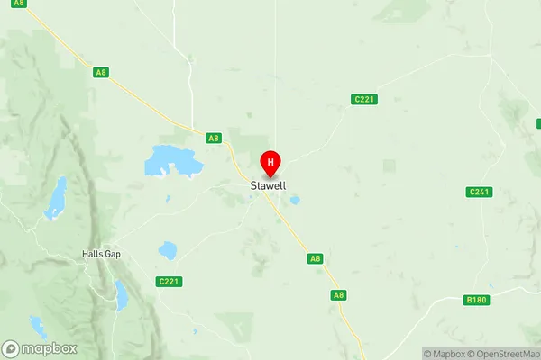
Stawell Region Map
Stawell Suburbs
Stawell full address
Stawell, Murray River Swan Hill, North West, Victoria, VIC, Australia, SaCode: 215011392Country
Stawell, Murray River Swan Hill, North West, Victoria, VIC, Australia, SaCode: 215011392
Stawell Suburbs & Region, Stawell Map & Postcodes has 0 areas or regions above, and there are 0 Stawell suburbs below. The sa2code for the Stawell region is 215011392. Its latitude and longitude coordinates are -37.0518,142.778. Stawell area belongs to Australia's greater capital city Rest of Vic..