Black Range Area, Black Range Postcode(3381) & Map in Black Range, North West, VIC
Black Range Area, Black Range Postcode(3381) & Map in Black Range, North West, VIC, AU, Postcode: 3381
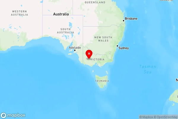
Black Range, Stawell, Grampians, North West, Victoria, Australia, 3381
Black Range Postcode
Area Name
Black RangeBlack Range Suburb Area Map (Polygon)

Black Range Introduction
Black Range is a mountain range in the North West region of Victoria, Australia. It is known for its rugged terrain, dense forests, and diverse wildlife. The range includes the Black Range National Park, which offers hiking, camping, and wildlife viewing opportunities.State Name
City or Big Region
District or Regional Area
Suburb Name
Black Range Region Map
Country
Main Region in AU
R3Coordinates
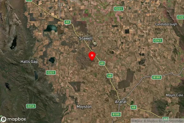
-37.1415,142.802 (latitude/longitude)Black Range Area Map (Street)

Longitude
142.7641486Latitude
-37.1348818Black Range Elevation
about 200.73 meters height above sea level (Altitude)Black Range Suburb Map (Satellite)
Distances
The distance from Black Range, North West, VIC to AU Greater Capital CitiesSA1 Code 2011
21501139211SA1 Code 2016
21501139211SA2 Code
215011392SA3 Code
21501SA4 Code
215RA 2011
2RA 2016
2MMM 2015
5MMM 2019
5Charge Zone
V2LGA Region
Northern GrampiansLGA Code
25810Electorate
Wannon