Stawell Area, Stawell Postcode(3380) & Map in Stawell, North West, VIC
Stawell Area, Stawell Postcode(3380) & Map in Stawell, North West, VIC, AU, Postcode: 3380
Stawell, Stawell, Grampians, North West, Victoria, Australia, 3380
Stawell Postcode
Area Name
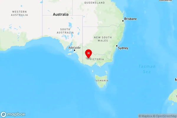
StawellStawell Suburb Area Map (Polygon)

Stawell Introduction
Stawell is a small town in North West Victoria, Australia. It is known for its rich gold mining history and is home to the Stawell Gold Mine Museum. The town also has a beautiful park with a lake, walking trails, and a playground.State Name
City or Big Region
District or Regional Area
Suburb Name
Stawell Region Map

Country
Main Region in AU
R3Coordinates
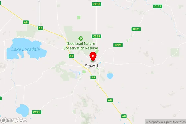
-37.0517769,142.7777088 (latitude/longitude)Stawell Area Map (Street)

Longitude
142.771159Latitude
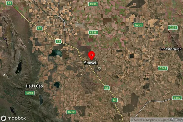
-37.0666Stawell Suburb Map (Satellite)

Distances
The distance from Stawell, North West, VIC to AU Greater Capital CitiesSA1 Code 2011
21501139202SA1 Code 2016
21501139202SA2 Code
215011392SA3 Code
21501SA4 Code
215RA 2011
2RA 2016
2MMM 2015
4MMM 2019
4Charge Zone
V2LGA Region
Northern GrampiansLGA Code
25810Electorate
Wannon