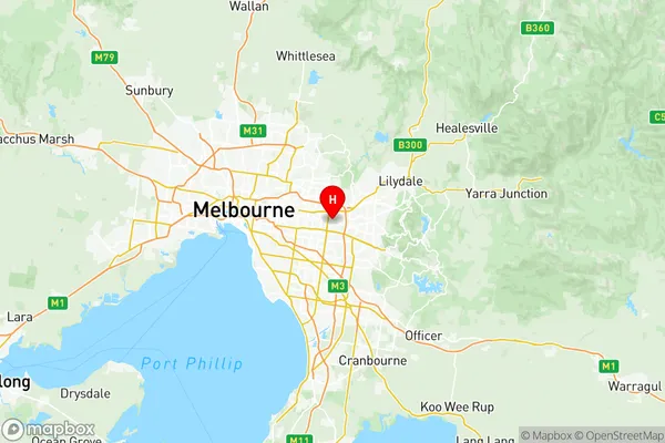
Whitehorse East Suburbs & Region, Whitehorse East Map & Postcodes
Whitehorse East Suburbs & Region, Whitehorse East Map & Postcodes in Whitehorse East, Melbourne Outer East, VIC, AU
Whitehorse East Region
Region Name
Whitehorse East (VIC, AU)Whitehorse East Area
26.57 square kilometers (26.57 ㎢)Postal Codes
from 3131 to 3134 (In total, there are 4 postcodes in Whitehorse East.)Whitehorse East Introduction
Whitehorse East is a suburb in Melbourne's east, located 10 kilometers east of the Melbourne CBD. It is represented by the Legislative Assembly of Victoria as the Electoral district of Whitehorse. The suburb has a population of around 11,000 people and is known for its large number of parks and recreational facilities, including the Whitehorse Reserve and the Eastern Golf Club. The area was developed in the 1950s and 1960s and is characterized by a mix of residential and commercial properties. It is also home to a number of major shopping centers, including Eastland Shopping Centre and Whitehorse Plaza.Australia State
City or Big Region
District or Regional Area
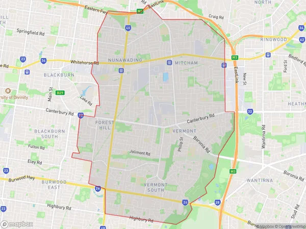
Whitehorse East Region Map

Whitehorse East Postcodes / Zip Codes
Whitehorse East Suburbs
Donvale Park Orchards
Warrandyte Wonga Park
Whitehorse East full address
Whitehorse East, Melbourne Outer East, Victoria, VIC, Australia, SaCode: 21104Country
Whitehorse East, Melbourne Outer East, Victoria, VIC, Australia, SaCode: 21104
Whitehorse East Suburbs & Region, Whitehorse East Map & Postcodes has 9 areas or regions above, and there are 13 Whitehorse East suburbs below. The sa3code for the Whitehorse East region is 21104. Its latitude and longitude coordinates are -37.837,145.184.
Whitehorse East Suburbs & Localities
1. Mitcham
2. Mitcham North
3. Vermont South
4. Heathwood
5. Warranwood
6. Brentford Square
7. Forest Hill
8. Rangeview
9. Vermont
10. Nunawading
11. Warrandyte South
12. Ringwood
13. Ringwood North
