Nunawading Area, Nunawading Postcode(3131) & Map in Nunawading, Melbourne - Outer East, VIC
Nunawading Area, Nunawading Postcode(3131) & Map in Nunawading, Melbourne - Outer East, VIC, AU, Postcode: 3131
Nunawading, Nunawading, Whitehorse - East, Melbourne - Outer East, Victoria, Australia, 3131
Nunawading Postcode
Area Name
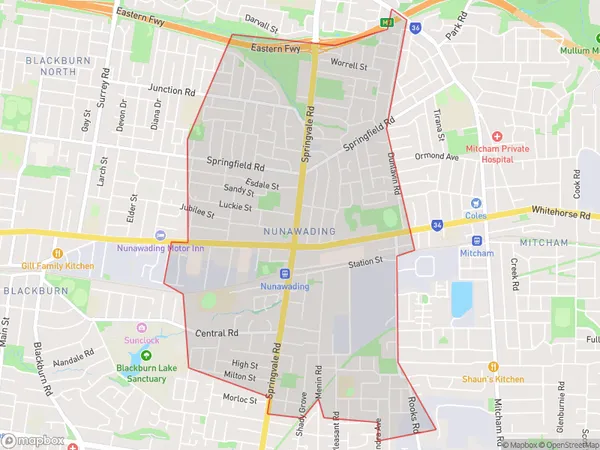
NunawadingNunawading Suburb Area Map (Polygon)

Nunawading Introduction
Nunawading is a suburb in Melbourne's outer east, located 11 kilometers from the CBD. It has a variety of shops, cafes, and parks and is known for its peaceful and quiet atmosphere. The suburb has a large Chinese community and is home to the Nunawading Chinese Community Centre. Nunawading railway station is located on the Belgrave line and provides easy access to the city.State Name
City or Big Region
District or Regional Area
Suburb Name
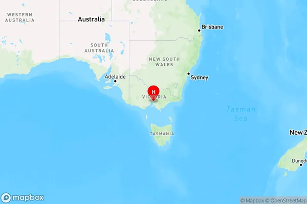
Nunawading Region Map

Country
Main Region in AU
R1Coordinates
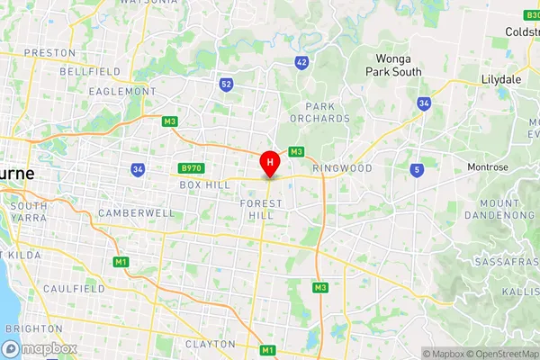
-37.8184273,145.1760206 (latitude/longitude)Nunawading Area Map (Street)

Longitude
145.174489Latitude
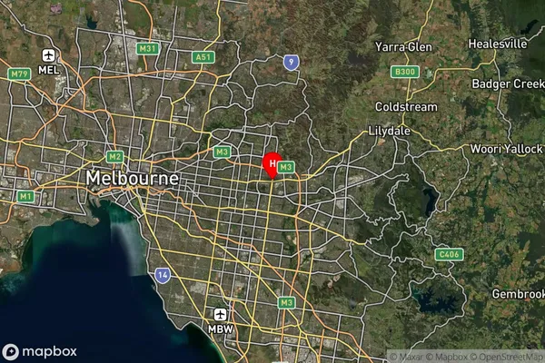
-37.817798Nunawading Suburb Map (Satellite)

Distances
The distance from Nunawading, Melbourne - Outer East, VIC to AU Greater Capital CitiesSA1 Code 2011
21104127113SA1 Code 2016
21104127113SA2 Code
211041271SA3 Code
21104SA4 Code
211RA 2011
1RA 2016
1MMM 2015
1MMM 2019
1Charge Zone
V1LGA Region
WhitehorseLGA Code
26980Electorate
Deakin