Warrandyte Wonga Park Suburbs & Region, Warrandyte Wonga Park Map & Postcodes
Warrandyte Wonga Park Suburbs & Region, Warrandyte Wonga Park Map & Postcodes in Warrandyte Wonga Park, Whitehorse East, Melbourne Outer East, VIC, AU
Warrandyte Wonga Park Region
Region Name
Warrandyte Wonga Park (VIC, AU)Warrandyte Wonga Park Area
45.76 square kilometers (45.76 ㎢)Postal Codes
3113, 3115, and 3134 (In total, there are 3 postcodes in Warrandyte Wonga Park.)Warrandyte Wonga Park Introduction
Warrandyte Wonga Park is a large parkland area located in the Melbourne Outer East region of Victoria, Australia. It is known for its extensive gardens, walking trails, and picnic facilities, making it a popular destination for locals and visitors alike. The park is named after the Wonga Creek, which flows through it, and is home to a variety of native plants and animals. The park also features a playground, a cricket pitch, and a basketball court, making it a great place for sports and recreation.Australia State
City or Big Region
Greater Capital City
Greater Melbourne (2GMEL)District or Regional Area
Suburb Name
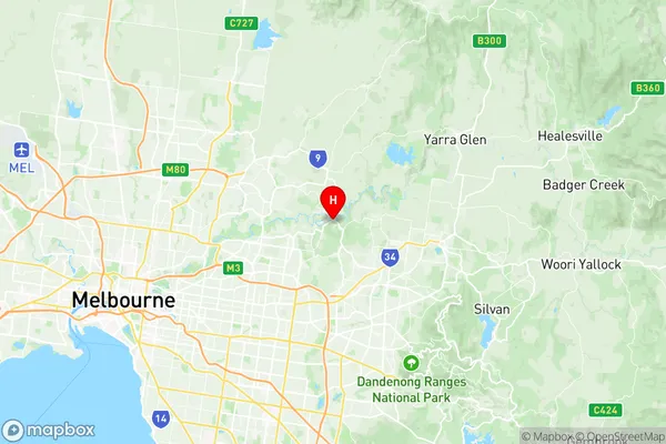
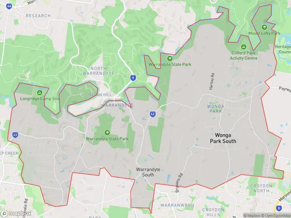
Warrandyte Wonga Park Region Map

Warrandyte Wonga Park Postcodes / Zip Codes
Warrandyte Wonga Park Suburbs
Warrandyte Wonga Park full address
Warrandyte Wonga Park, Whitehorse East, Melbourne Outer East, Victoria, VIC, Australia, SaCode: 211021262Country
Warrandyte Wonga Park, Whitehorse East, Melbourne Outer East, Victoria, VIC, Australia, SaCode: 211021262
Warrandyte Wonga Park Suburbs & Region, Warrandyte Wonga Park Map & Postcodes has 0 areas or regions above, and there are 3 Warrandyte Wonga Park suburbs below. The sa2code for the Warrandyte Wonga Park region is 211021262. Its latitude and longitude coordinates are -37.738,145.223. Warrandyte Wonga Park area belongs to Australia's greater capital city Greater Melbourne.
Warrandyte Wonga Park Suburbs & Localities
1. Warrandyte
2. Wonga Park
3. Warrandyte South
